Red Mountain Pass
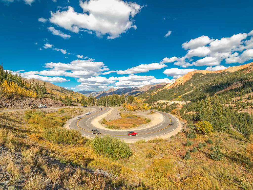
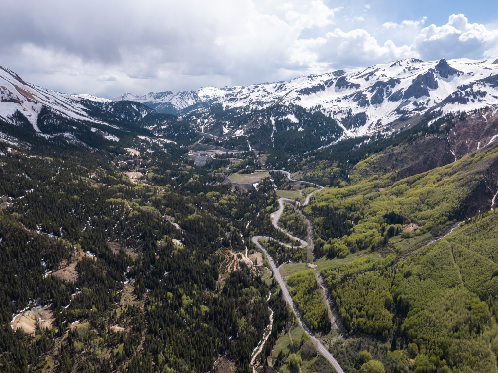
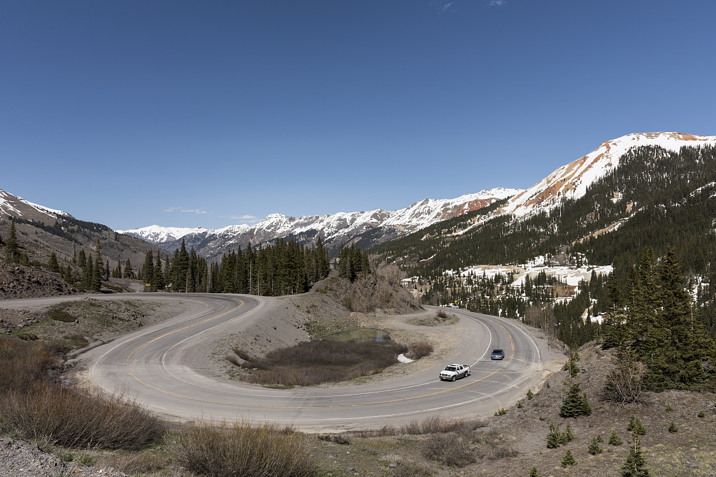
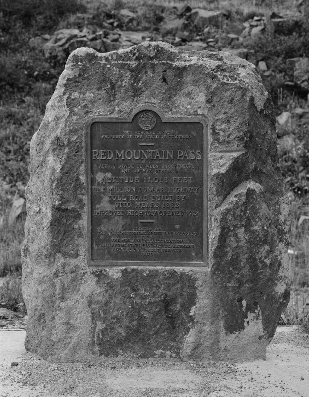
Red Mountain Pass is the highest point of the famous Million Dollar Highway (US Highway 550) that runs from Silverton to Ouray, Colorado. Coming in at just over 11,000 feet in elevation, the construction of Red Mountain Pass was finished in 1884 by Otto Mears.
This route is known for its steep cliffsides, rich mining history, and winding roads that are enjoyed by drivers and motorcyclists.
Seasonal Info
Red Mountain Pass is open throughout the year, with temporary closures for weather and avalanche mitigation.
Red Mountain Pass Stats
- Max Road Elevation: 11,018'
- Surface: Paved
- Mountain Range: San Juan Mountains
Alternate Routes – If Red Mountain Pass is closed, travelers can expect significant increases in driving time. Options are limited, so travelers will need to head west towards Dolores and then north on Colorado Highway 145 over Lizard Head Pass towards Telluride.
The Red Mountain Overlook is pictured in the image below. This area is located to the north of the Red Mountain Pass summit. The old, abandoned homes shown here were a part of Red Mountain Town.
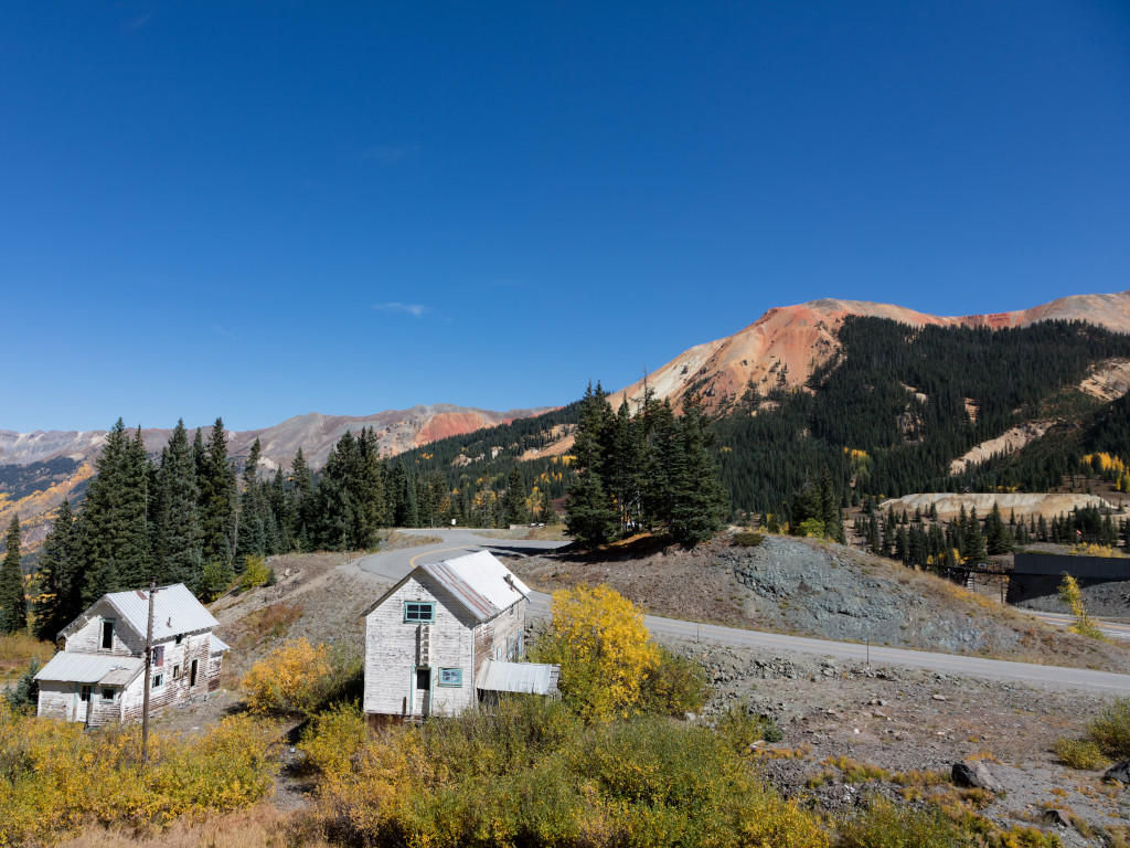
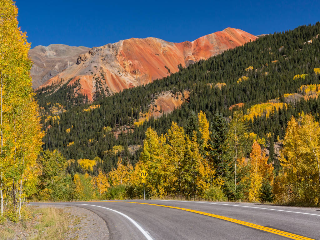
The mountains in this area get their distinct red color from iron oxide. The iron in the soil has oxidized and rusted, just like a steel beam might do if it is left outside long enough. Red Mountain Creek runs with an orange-red color for this same reason.
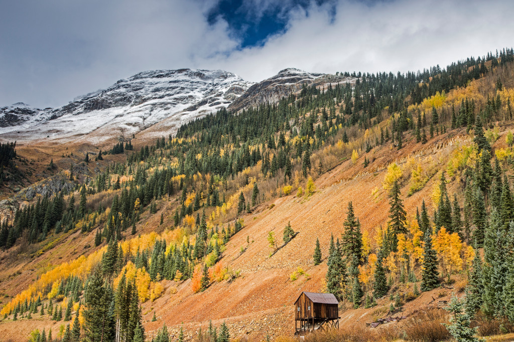
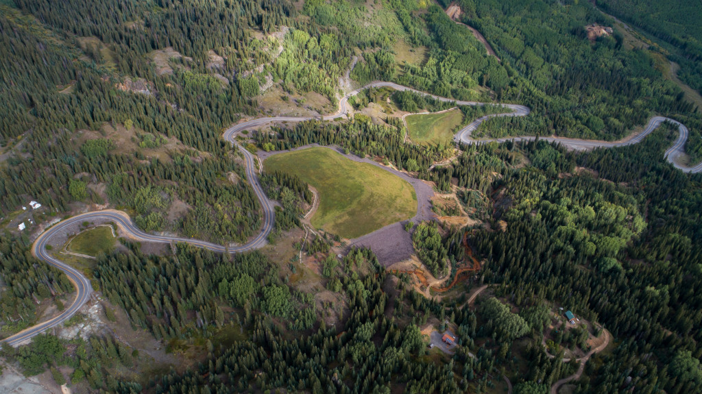
The structure above is located near the intersection of Mill Creek and Mineral Creek, just before the first major hairpin turn on Red Mountain Pass as you are heading north from Silverton to Ouray.
4x4 Trails Near Red Mountain Pass
The mining district is a popular 4×4 spot. The 4×4 road here leaves Highway 550 to create a bypass that will take you by the old Yankee Girl Mine and other structures. The road through the mining district also brings you by the old Genesee Mine, Longfellow Mine and other mines.
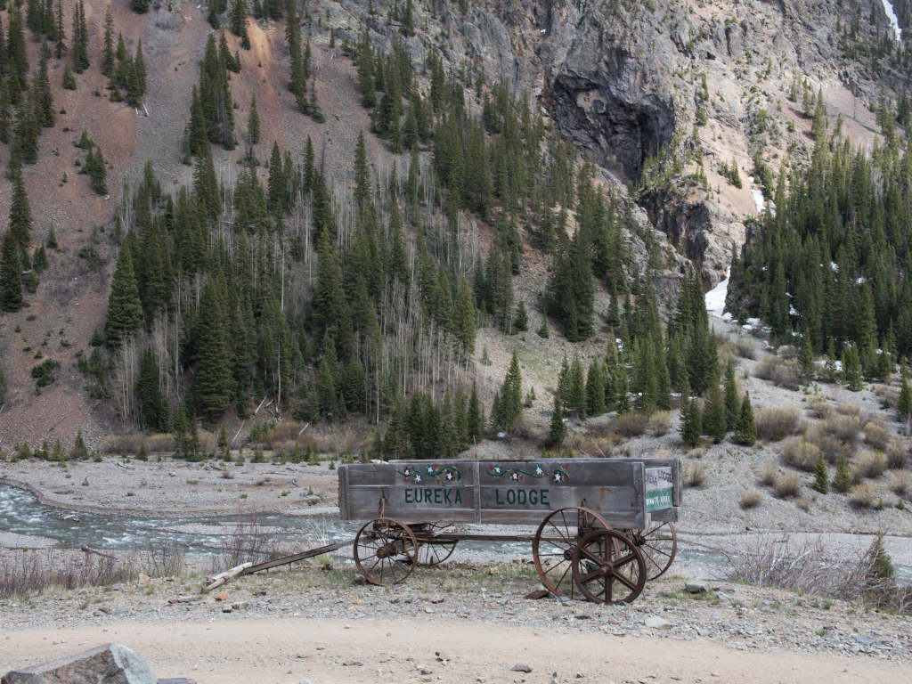
Forest Road 825 links up with the road that runs through the mining district. This is another offroading trail that will take you farther to the south before it meets up with Highway 550.
Several 4×4 mountain passes can also be accessed from the Million Dollar Highway including: Black Bear Pass (to Telluride), Ophir Pass, Corkscrew Pass and The Alpine Loop.
Red Mountain Pass FAQ
Red Mountain Pass is in the southwestern Colorado section of the San Juan Mountain Range. The pass lies between Silverton to the south and Ouray to the north.
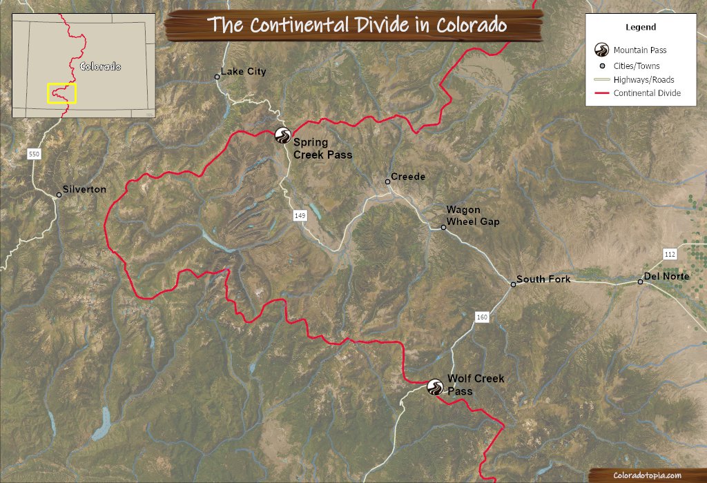
No, the Continental Divide passes to the east of Silverton. Check out this map from the Wolf Creek Pass page.
There are no services or amenities on Red Mountain Pass. There are, however, pull-offs throughout the drive.
Red Mountain Pass is a winding road with grades up to 8% and some treacherous corners. It is considered to be one of the more dangerous highways in Colorado.
There are no tolls or fees for this mountain pass. This hasn’t been a toll road for more than 100 years.
Yes, but expect intermittent closures for weather, snow removal and avalanche mitigation.
The Red Mountain Mining District
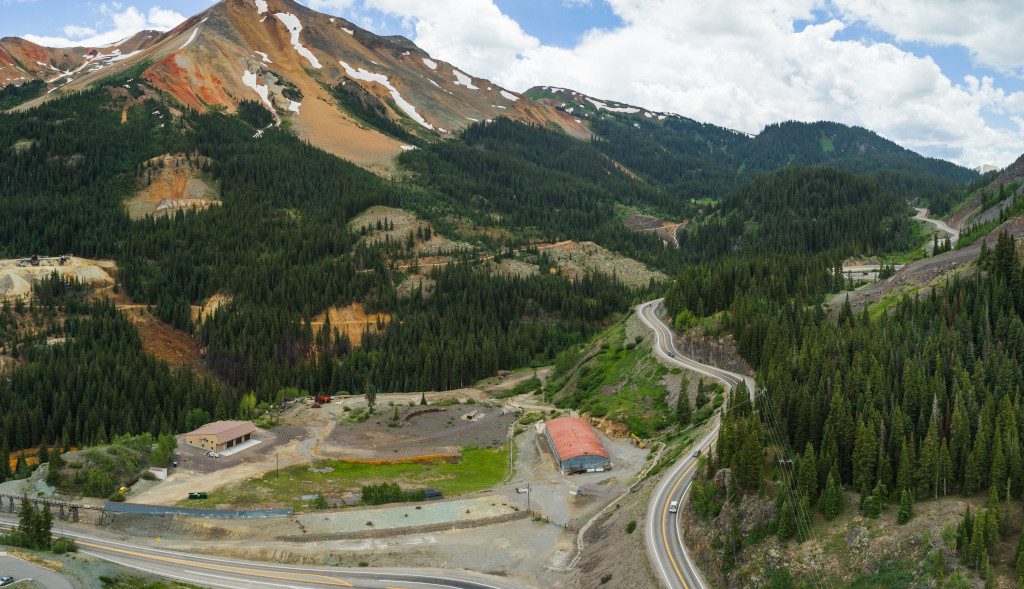
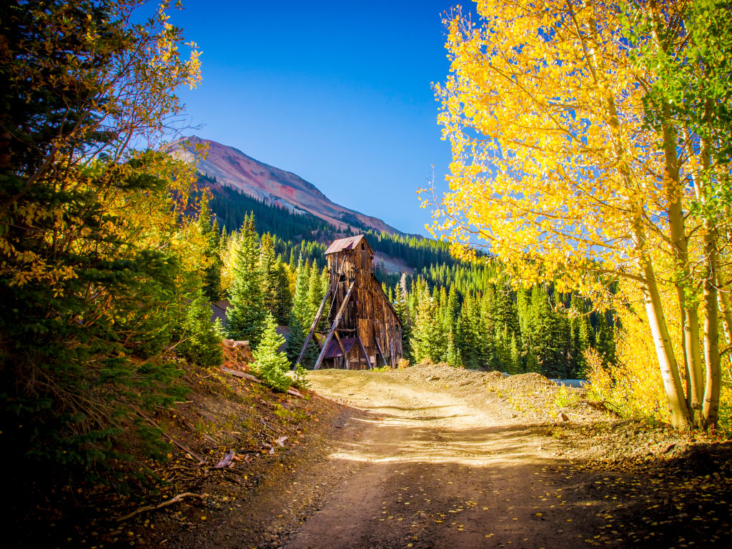
Remnants of the Idarado Mine and Yankee Girl Mine can be seen below in the Red Mountain Mining District. This area is located on the eastern side of Highway 550, to the north of the Red Mountain Pass summit.
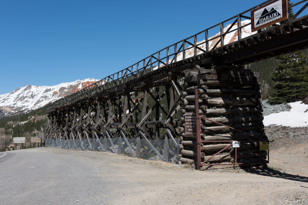
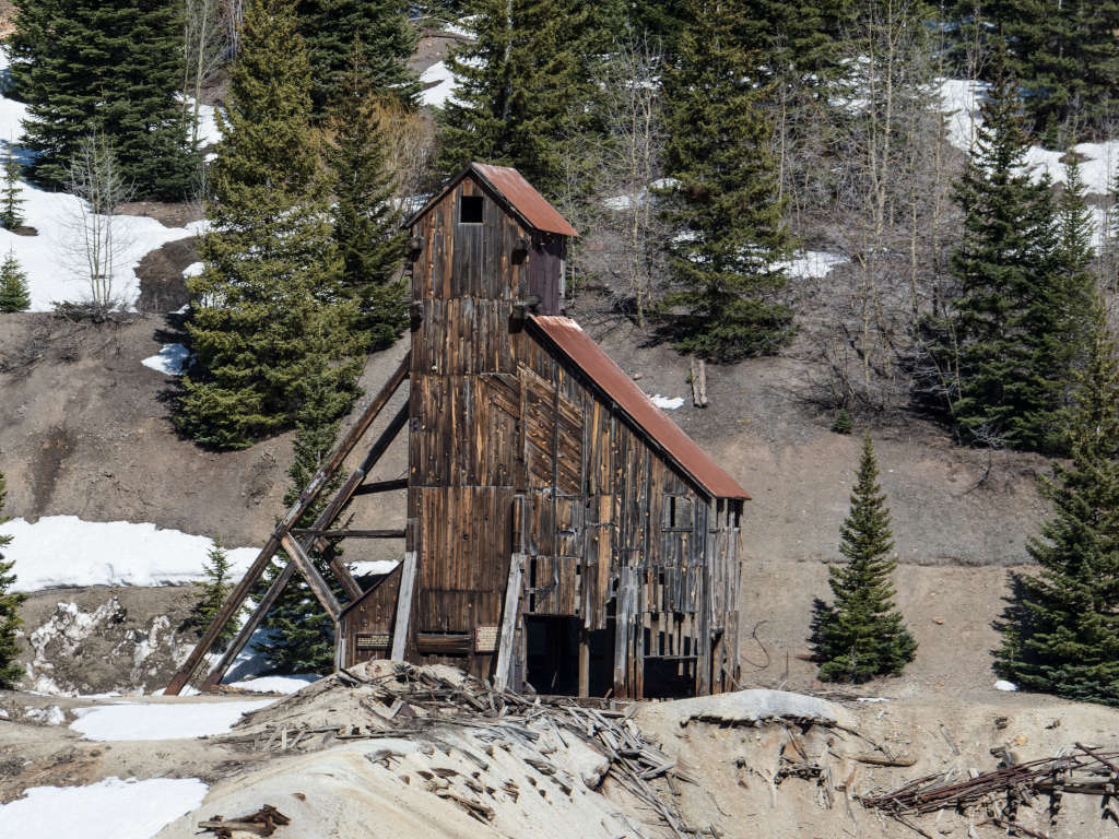
The Yankee Girl Mine was one of the early mining claims in the area, dating to 1882. The Idarado mining operation began in the 20th century. That was a large consolidation of many old mining claims, encompassing a larger area than just the Yankee Girl Mine. The structure below remains from the original Yankee Girl vertical shaft mine that was known for bringing rich ore to the surface during the 1800s.
Directions from Denver
How to get to Red Mountain Pass from Denver? Take I-70 west to Exit 37. Head south on US 141, US 50, and US 550.
- I-70 West
- US 141 South
- US 50 South
- US 550 South
Did You Know?
Though there are no tolls now, the original wagon road was a toll road. Otto Mears charged a $5 fee per wagon team, $1 for a saddled horse.1
Before Dynamite was Dynamite: Explosives were needed in order to carve out a pathway along the cliffside through Uncompahgre Gorge. At the time, it was called giant powder.
Red Mountain Pass History
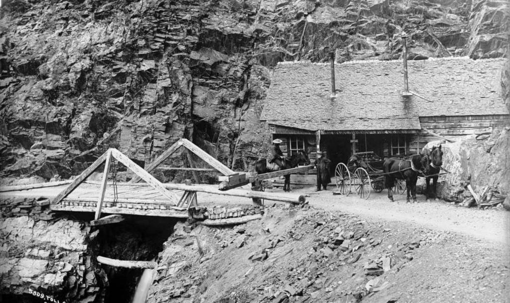
In the late 19th century, the towns of Ouray and Silverton both needed a road into the Red Mountain Mining District that lies between them. A trail already existed here before the wagon road. Both towns eventually asked Otto Mears to build them a road into the area. The roads were built separately, and in 1884 they were joined together into what is now known as the Million Dollar Highway. Red Mountain Pass was the final portion of the road to be finished.
The first portion of the road was started by the Ouray and San Juan Wagon Road Company. When they were unable to complete the project, Otto Mears purchased a majority stake in the company, then put his expertise to work. This is how he became an owner of the road and was able to charge tolls. However, his ownership would be short-lived. The road was taken over by the county and state by 1887.2
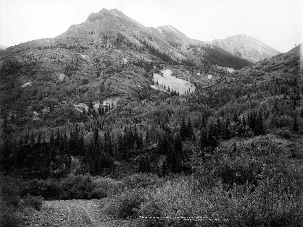
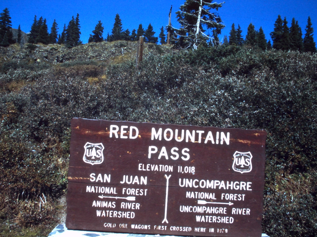
A project to rebuild and modernize the Million Dollar Highway was undertaken between 1921 and 1924. A dedication of the Million Dollar Highway was held on Saturday, June 28th, 1924.3
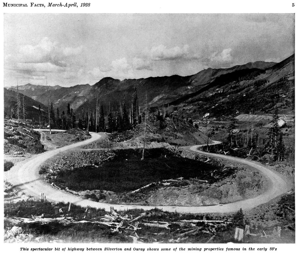
The image and caption below come from an issue of Municipal Facts from 1928. This was a Denver publication where you would often find updates about new mountain passes being built. Since this is a March/April issue, the lack of snow in this photo means that the image was captured no later than 1927.
References & Credits
Image Credits: Carol M. Highsmith/Library of Congress, Municipal Facts: Volume 11 Numbers 3 and 4, 1928 March-April, p. 5.

