Brief Description
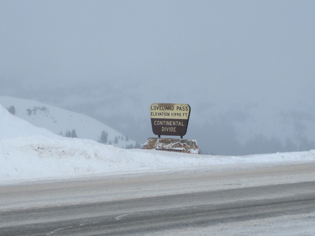
This photo from 2010 shows the latest sign to be added at the top of Loveland Pass. This is similar to many of the national forest and campground signs that the US Forest Service has put into place. It follows a similar design theme to its predecessors, but lacks some of the butterfly shape that was seen in previous versions.
Info
- Date: February 10th, 2010
- Medium: Digital Only
- ID: CL-MW2010
- Repository: Coloradotopia Archives
This image was captured with a Canon Proshot D10. Only the digital copy exists. No physical copy has ever been created.
Image use restricted.
Image Dating Comments
This photo has a digital timestamp of Feb 10th, 2010. This comes from the Coloradotopia archives and the date is believed to be accurate.
Comments & Discussion
This is the only instance where the US Forest Service has erected this particular sign design and layout on top of a Continental Divide highway.
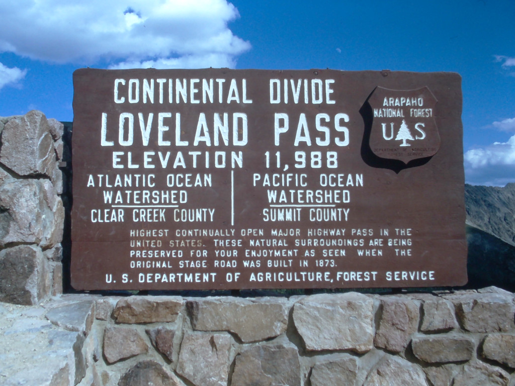
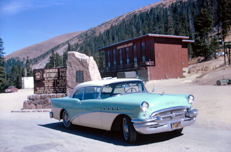
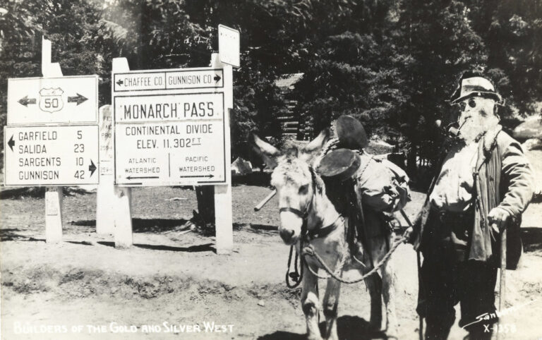
Passes over the Continental Divide such as Monarch Pass, Tennessee Pass, Berthoud Pass and many others all have signs that are similar to this one, but they are using older designs with a butterfly shape from the late 1900s. There are 3+ different iterations of those that have been documented in the Coloradotopia archive.
What happened to the previous sign? Photos between 2001 and 2007 show the previous sign being destroyed by snowplow activity on the other side of the highway. The stone base for that sign and other preceding signs is still in place there, but there hasn’t been a sign on that side of the highway for more than 15 years.
<< Previous Image | Next Image >>
About the Coloradotopia Archive. This archive boasts a physical inventory that consists of hundreds of historical images of the Continental Divide signs in Colorado. You can read more about the Coloradotopia archive project here.


