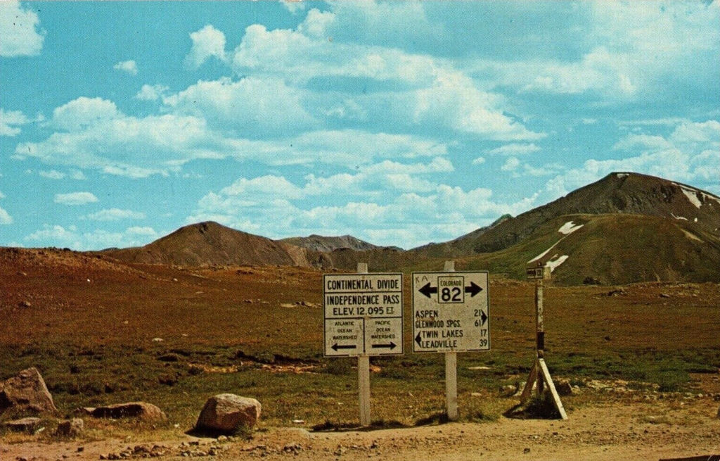
Independence Pass Continental Divide Sign Postcard #CIN-S293813
<< Previous Image | Next Image >>
Brief Description
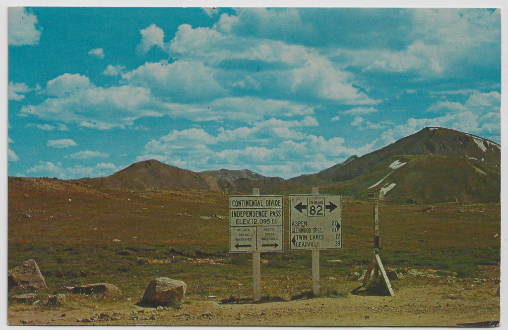
This postcard shows a set of 3 signs at the top of Independence Pass sometime during the mid-1900s. This includes a Continental Divide marker, a destination distance sign, and a smaller sign for the county names.
Info
- Date: C. 1953 or later
- Photographer: Unknown
- Additional Credits: Triangle Distributing
- Medium: Postcard
- Size:
- ID: CIN-S293813
- Acquisition Date: February 2024
- Repository: Coloradotopia Archives
Scanned with basic cropping, enhancements unknown
Image use restricted.
Image Dating Comments
The image shown here was likely captured sometime during the late 1950s. The text on the bottom of the signs reads “Colo. Dept. of Highways”. This allows the signs to be dated to 1953 or later, because this is when the department’s name was changed.
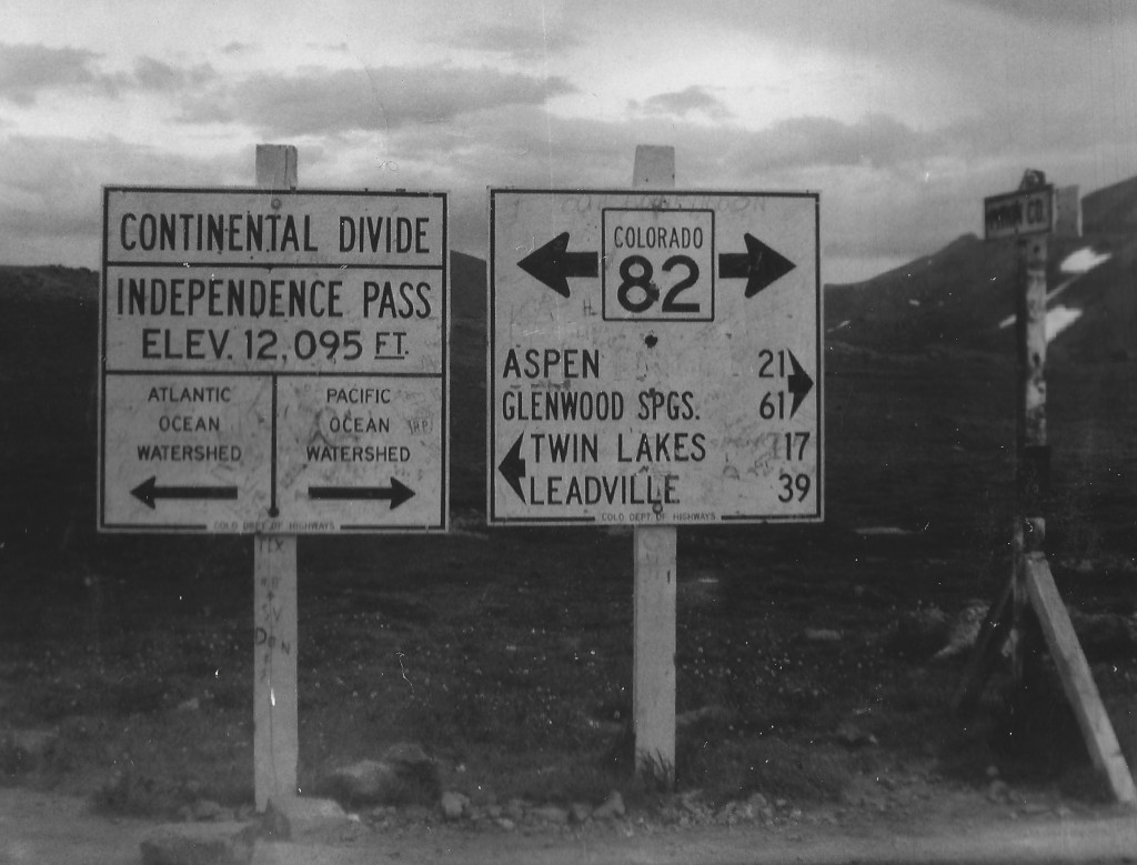
Other sign photographs in this archive from the time period also allow it to be dated to this era.
Backside
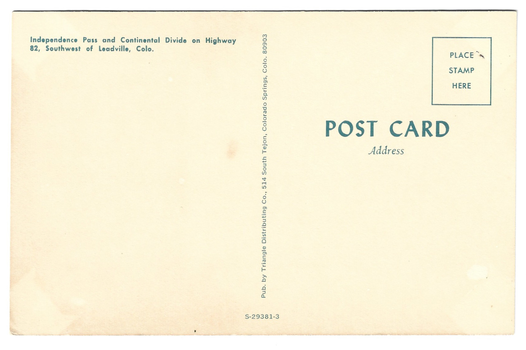
Comments & Discussion
The scan below was done with decreased brightness and contrast, but dots and lines resulting from the printing process can still be seen. No other color enhancements have been applied to this version. The featured image at the top of this page was scanned differently and has had some enhancements.
Condition, Aging & Authenticity: The backside appears to have some moisture staining and has been tinted considerably darker. The edges show aging and wear. The bottom-right corner is in the worst condition of the 4 corners upon arrival into the archive.
<< Previous Image | Next Image >>
About the Coloradotopia Archives Collection. The Coloradotopia archives hold a large collection of historical images and items that document Colorado’s automobile history in the mountains. You can read more about the collection here.

