Continental Divide Sign Archives
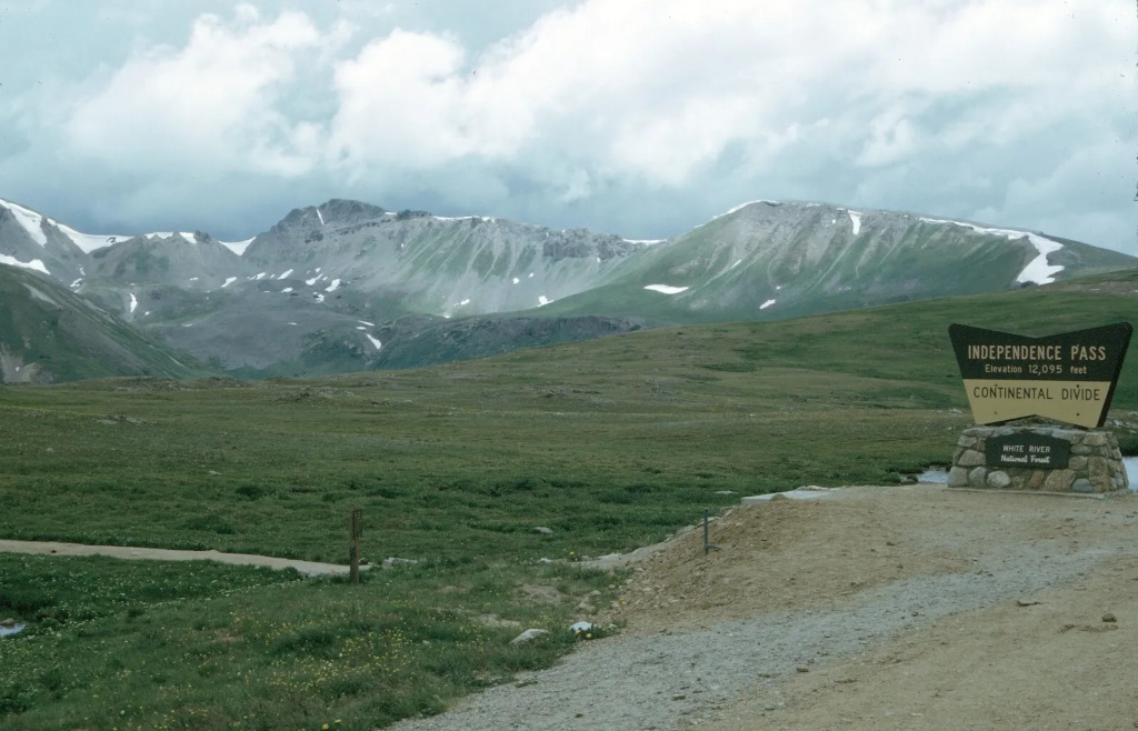
The goal of the Continental Divide archives collection is to document the Continental Divide signs of Colorado, and to date their changes over time while piecing together their history. There are also markers, plaques and memorials at the top of some of these mountain passes, and these are documented in this section as well.
This website maintains a physical archive of photographs, photo negatives, original slides, postcards, films and other types of imagery of these signs. The Continental Divide sign archive is a part of the larger Coloradotopia Archives Collection.
Featured Gallery
About the Coloradotopia Archives Collection. The collection contain physical images and artifacts that focus on Colorado’s automotive history in the mountains. You can read more about the Coloradotopia Archives Collection here.
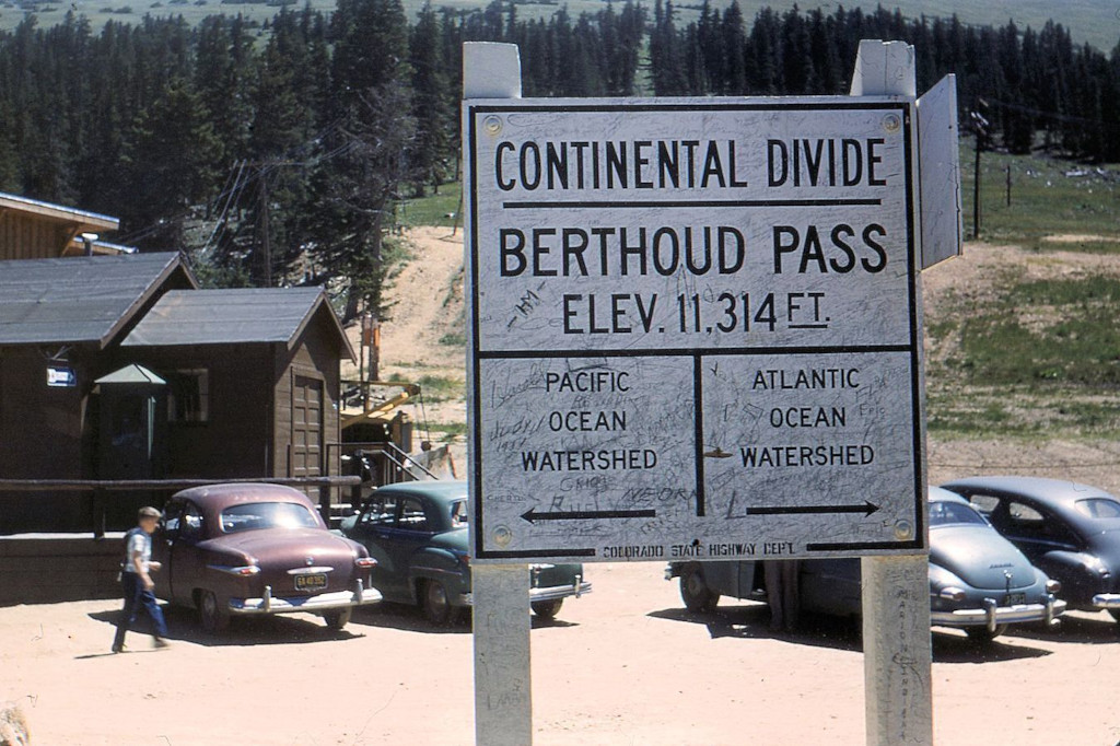
Berthoud Pass
This has been one of Colorado’s most popular mountain passes for more than 100 years. The summit here has been home to the Berthoud Pass Ski Area and more than 10 generations of Continental Divide signs.
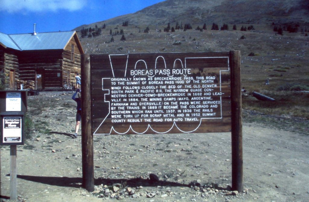
Boreas Pass
This pass gained its fame as a railroad during the 1800s, and now exists as a popular dirt road outside of Breckenridge, CO. The structures at the top were rebuilt during the late 1990s.
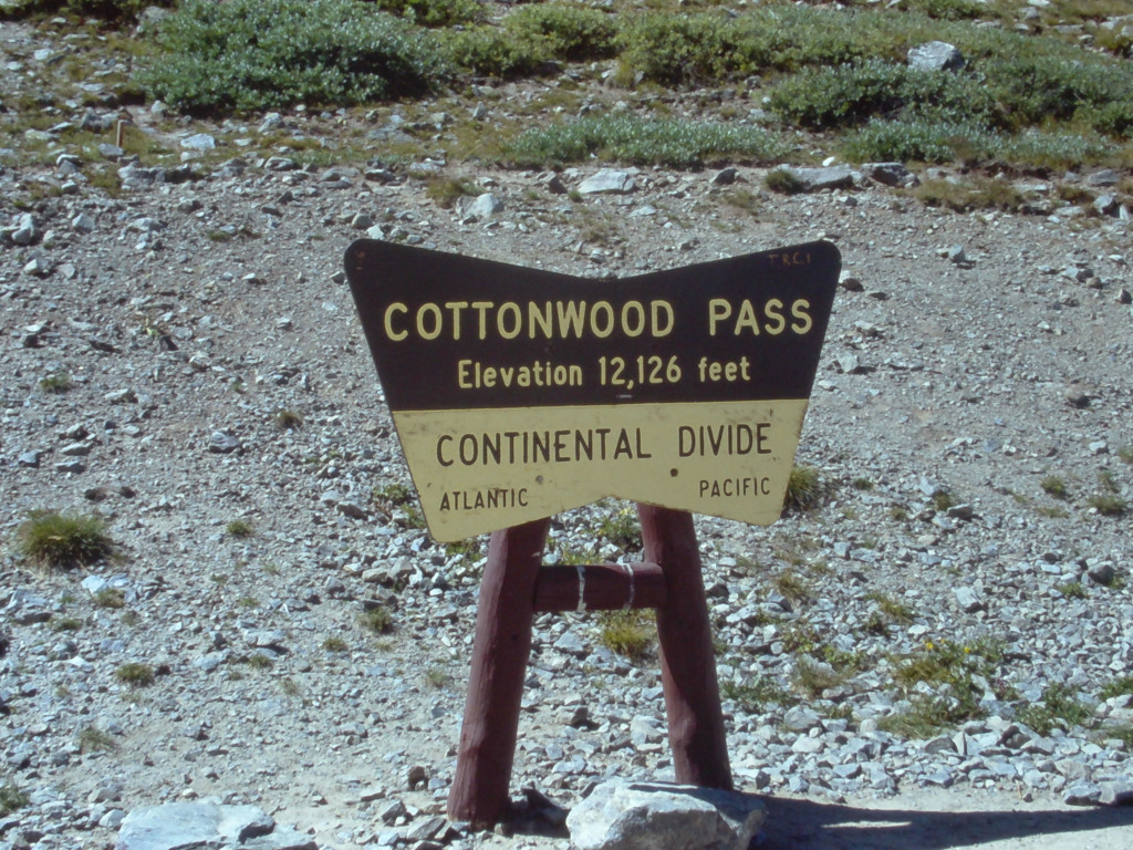
Cottonwood Pass
This pass fell into disrepair in the first half of the 20th century, and would not be rebuilt until 1959. This is the main reason why there are not as many historical Continental Divide sign images from Cottonwood Pass in the archives.
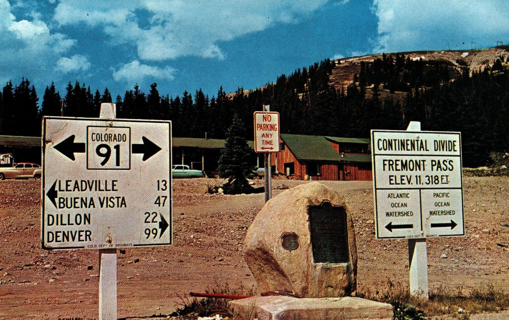
Fremont Pass
The stone marker, dated 1930, marks the top of the pass and the western boundary of the Louisiana Purchase. The marker notes an altitude of 11,316′ while the modern sign next to it reads 11,318′.
Hagerman Pass
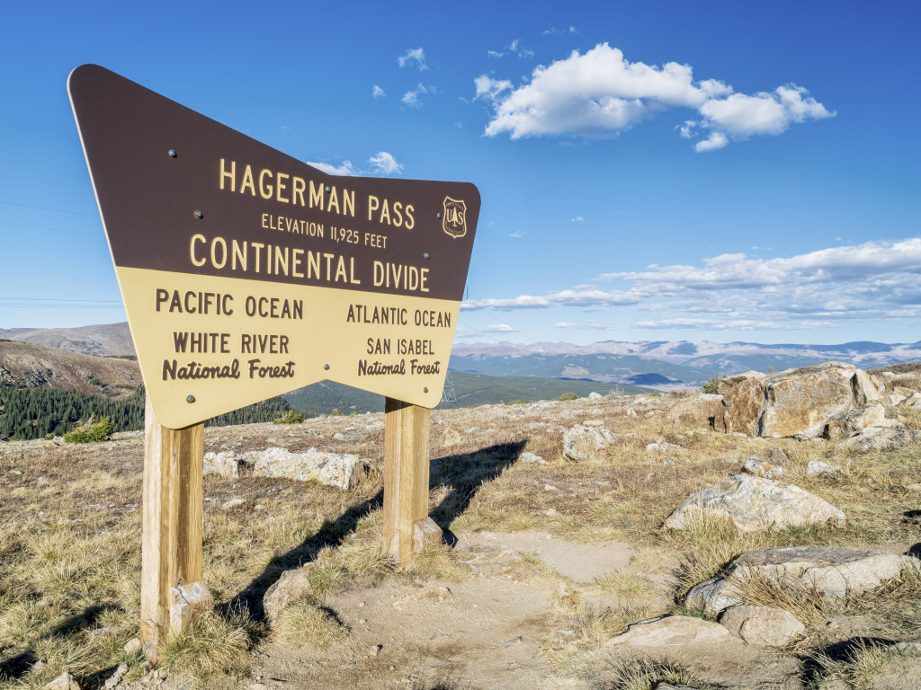
This dirt road crosses the Continental Divide to the east of Leadville, CO, and just to the north of Mt. Massive. The closest paved road over the divide to the south is Independence Pass.
Hoosier Pass
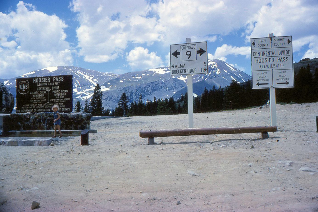
When Loveland Pass lost out on a major round of funding in the early 1900s, it caused that pass to stay in a nearly unusable state of disrepair. Hoosier Pass became the dominant route into Breckenridge until the 1930s. The image below from 1964 shows 3 different generations of markers and signs on this pass all at the same time.
Independence Pass
The signs on Independence Pass sit just above 12,000 feet. This pass is located just outside of Aspen, CO, and when this route is open over the summer it provides a shortcut for travelers heading there from Denver.

Loveland Pass
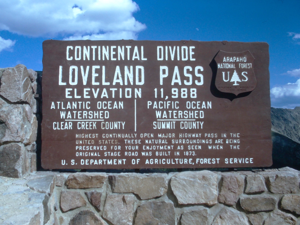
Loveland Pass and Berthoud Pass have likely seen more different Continental Divide signs than any other passes in Colorado. The signs have had a tumultuous history on the top of this pass, which includes some severe battering by the snowplows, and even complete destruction.
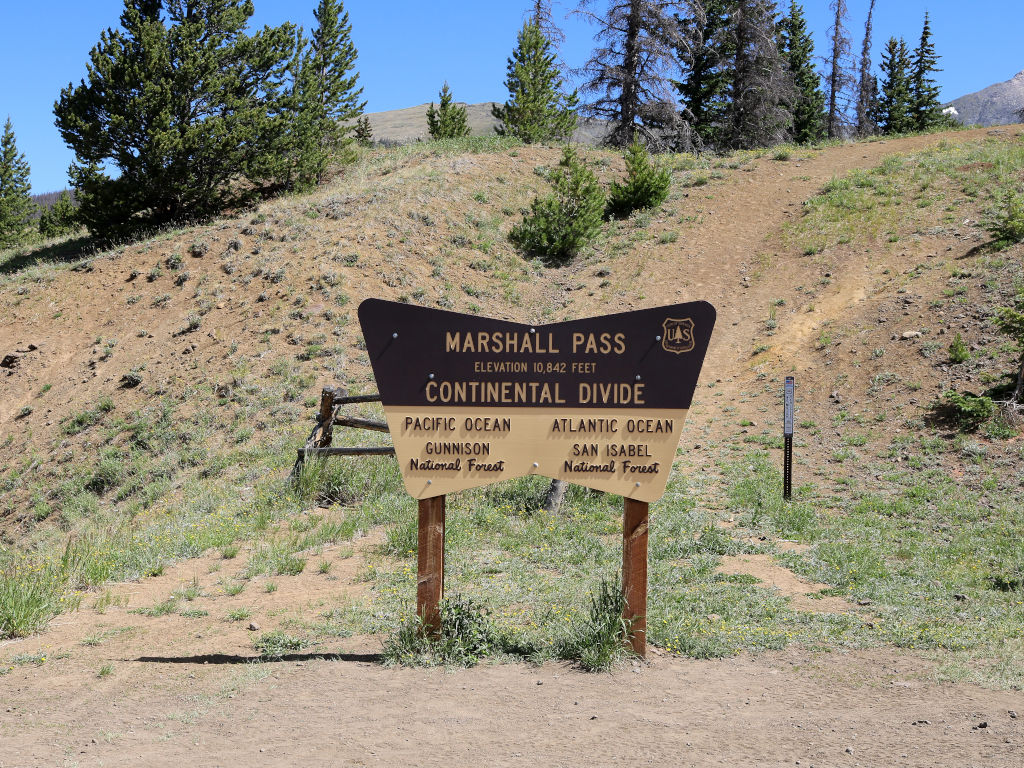
Marshall Pass
This is another example of a mountain pass that gained its fame as a railroad route during the 1800s, and is now a popular dirt road for summer recreationalists in Colorado.
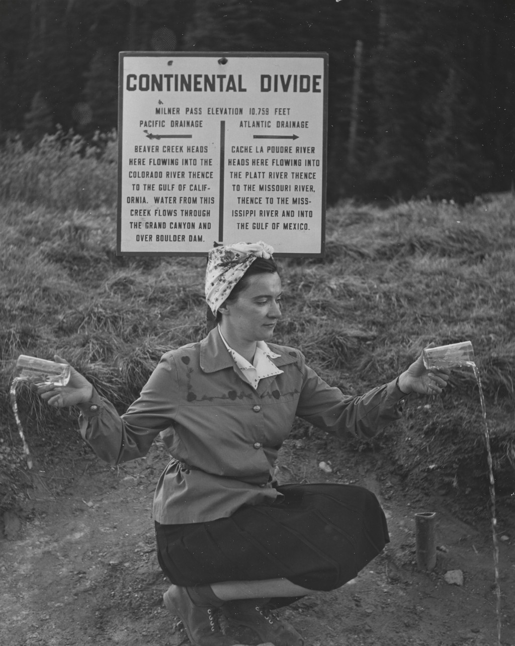
Milner Pass
The early sign here didn’t look like any of the other Continental Divide signs in Colorado. Milner Pass is located in Rocky Mountain National Park, so the signs here are not erected by the Highway Department or the National Forest Service. The signs here are the responsibility of the National Parks Service. However, at least 1 of the signs that was added here DID use the same wood patterning and materials as other signs from around Colorado.
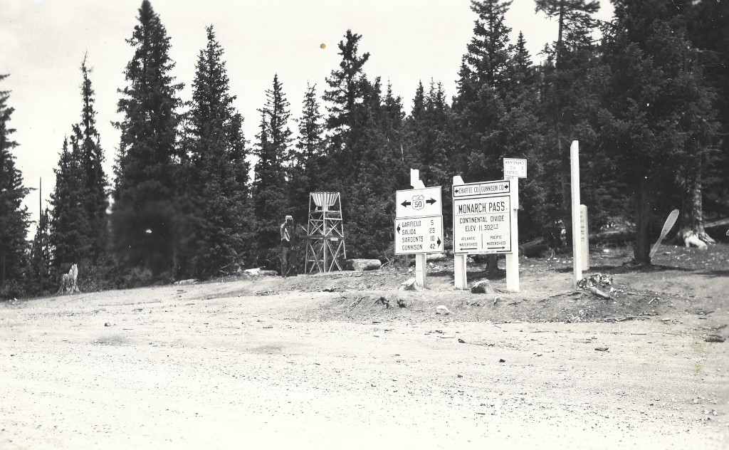
Monarch Pass
The route over Monarch Pass has been adjusted many times. There have been 3 major routes for automobiles over this pass. Images of the signs at all 3 summit locations can be found within this archive. This archive even has an image of the sign at the top of this pass in 1939 that said, ‘Vail Pass’.
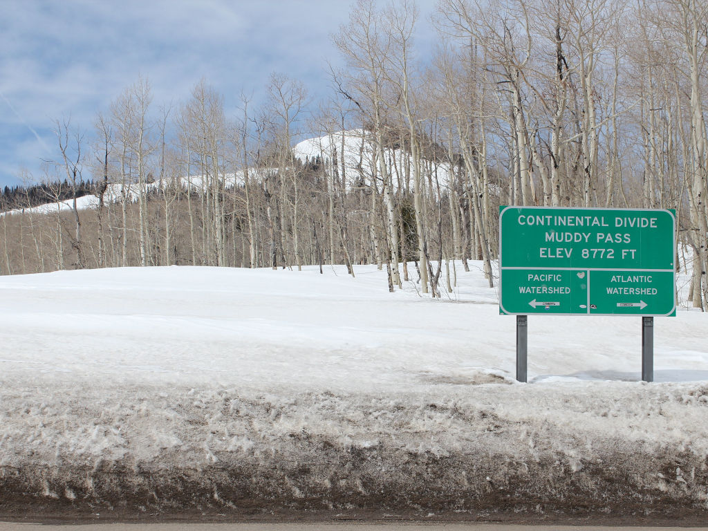
Muddy Pass
There is no longer a sign marking the top of Muddy Pass. The image below was captured by Jeffrey Beall in 2014. This section also has an archive of sign images from nearby Rabbit Ears Pass.
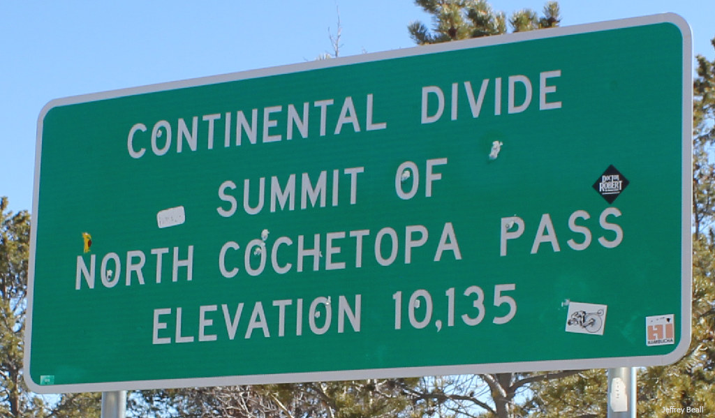
North Pass
The official name of the pass is North Pass, but North Cochetopa Pass became an officially recognized name variant in 1981. The image of the Continental Divide sign below was captured in 2016 by Jeffrey Beall.
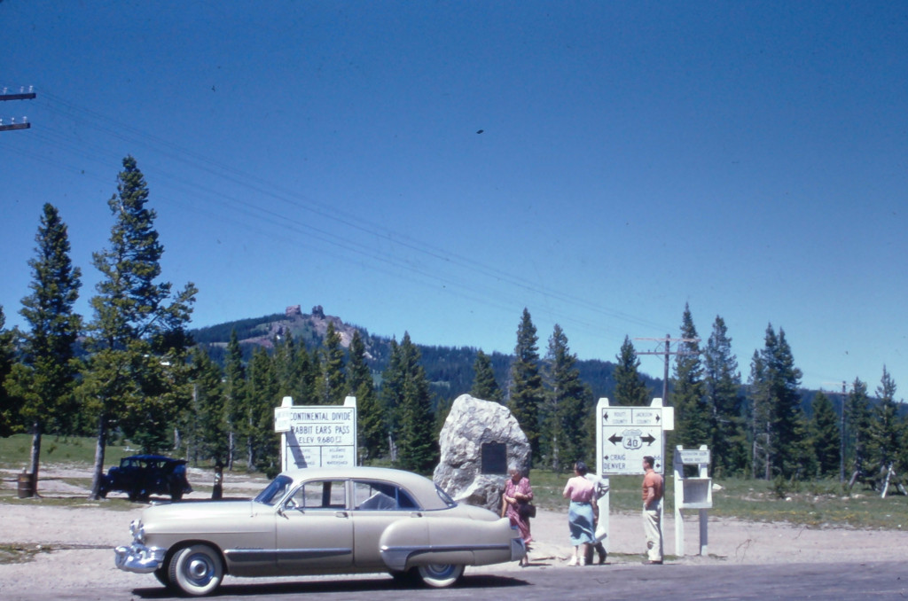
Rabbit Ears Pass
The stone marker and plaque shown in the older photos from Rabbit Ears Pass can still be found in this area today. The highway has now been moved slightly, while this marker still sits in the old location to the north of HWY 40.
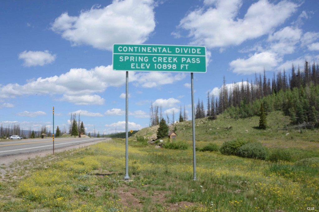
Spring Creek Pass
This lone photo in the archives of the Spring Creek Pass sign exists in digital format only. It is provided by the Center for Land Use Interpretation. The image is undated, but likely from the period between 2000-2010.
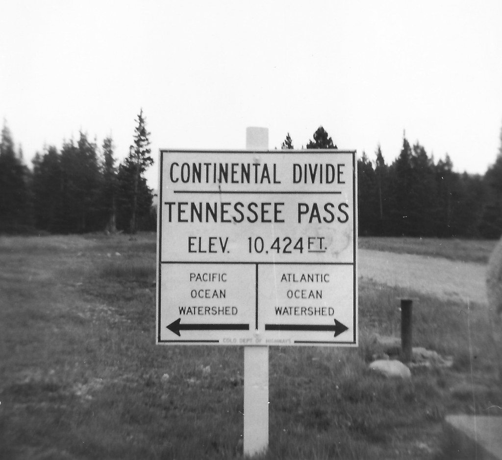
Tennessee Pass
Signs have been added on this pass by both the US Forest Service and the CO highway department. These are the same signs that soldiers would have seen if they were stationed at nearby Camp Hale during the 1940s. The oldest signs were located on the western side of the highway, but the modern sign is located on the eastern side, next to the 10th Mtn Division memorial and the entrance to Ski Cooper.
Willow Creek Pass
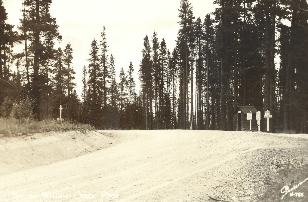
This is a historical route that got people from Granby, CO into the North Park area. The image on the postcard below was captured by Harold Sanborn, likely sometime during the 1930s.
Wolf Creek Pass
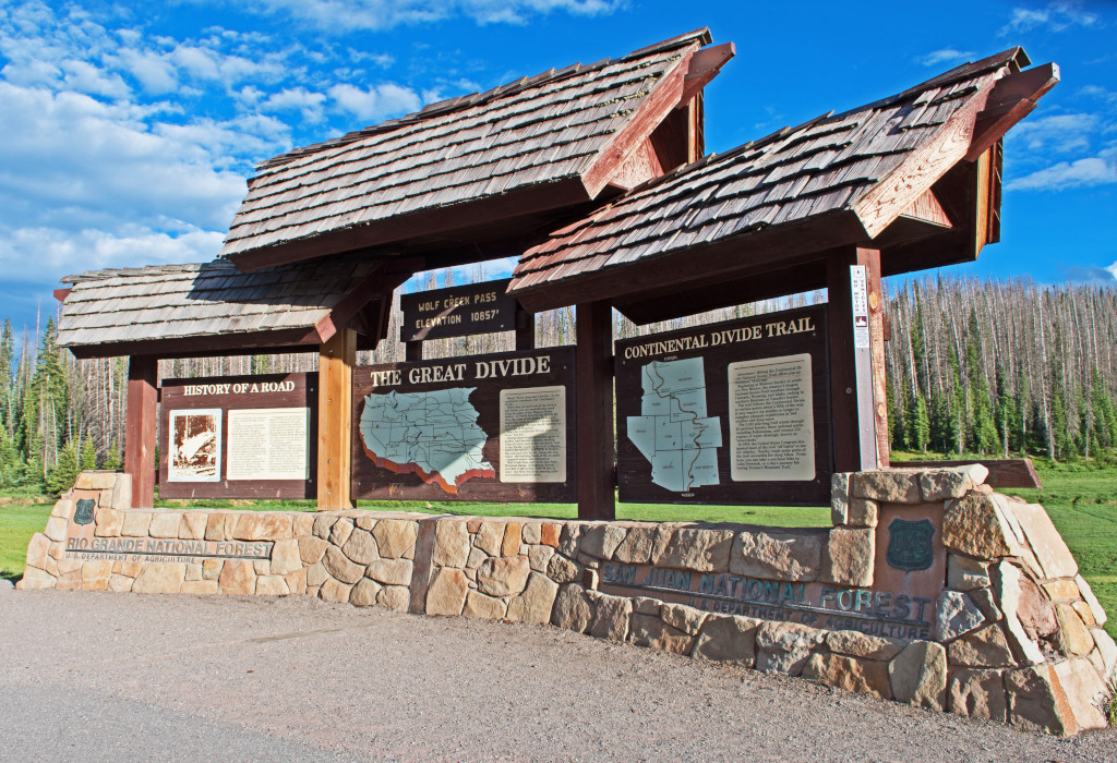
A green road sign now exists alongside the large brown set of signs that is pictured below. Those brown signs are covered in the winter so that they are not destroyed by snowplows throwing wet snow against them.
Images Credits: Coloradotopia Archives, Center for Land Use Interpretation, Jeffrey Beall | More info
