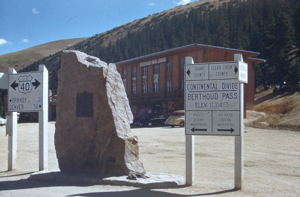
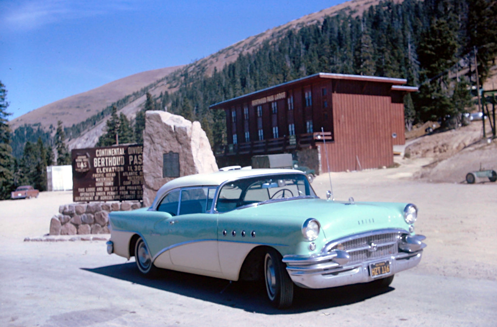
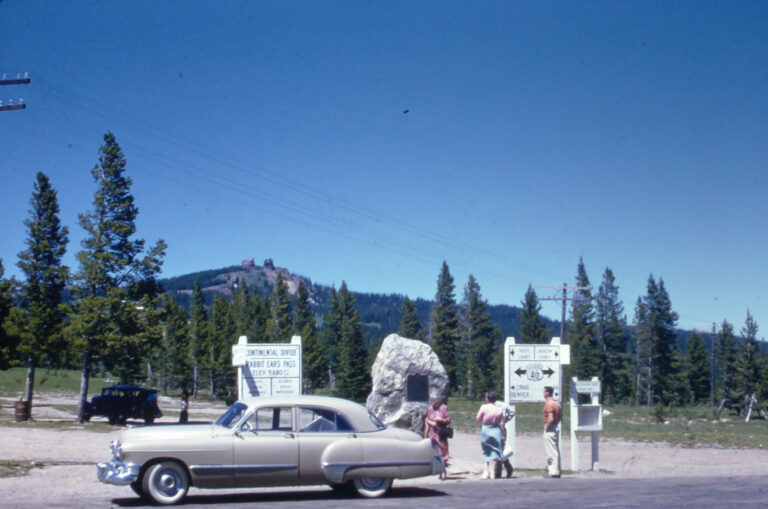
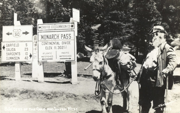
1954 Berthoud Pass Continental Divide Sign Kodachrome Slide #CB-5410
Info
- Date: 1954
- Photographer: Unknown
- Medium: Kodachrome Slide
- Size: 35mm
- ID: CB-5410
- Acquisition Date: March 2024
- Repository: Coloradotopia Archives
Scanned with basic cropping, enhancements unknown.
Image use restricted.
Image Dating Comments
This slide has the year 1954 handwritten in pen on the slide mount.
Comments & Discussion
The new road signs that were being added after 1953 either had the new highway department name on the bottom (Colorado Dept. of Highways) or no text at all, just a solid border. This version of the Continental Divide sign had the county names added as 2 lines by the time this image was captured.
While on top of Berthoud Pass, the Continental Divide runs east-west for a short distance. Water that flows to the north toward Winter Park will flow into the Frasier drainage basin, which flows into the Colorado River and towards the Pacific Ocean.
Water that falls to the south of the summit will flow into the Clear Creek River Basin, which flows into the South Platte River and eventually to the Atlantic Ocean.
A series of irrigation tunnels has altered this natural flow now. The area near Jones Pass and Berthoud Pass contains a series of tunnels which bring water back and forth across the divide as many as 3 times before the water finally starts to flow down from the Continental Divide towards Denver.
Condition, Aging & Authenticity: There is some darkening of the slide’s mount due to aging. The red border on the backside shows signs of fading. There is very mild smudging and fading of the thin black marker on the front. The handwritten date’s ink shows sign of fading when viewed under a loupe.
About the Coloradotopia Archives Collection. The Coloradotopia archives hold a large collection of historical images and items that document Colorado’s automobile history in the mountains. You can read more about the collection here.


