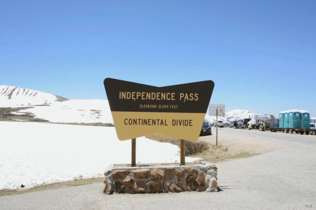
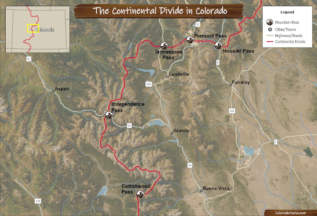
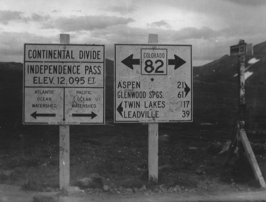
Independence Pass provides a crucial route over the Continental Divide on the eastern side of Aspen. When the route is closed for the winter, vehicles need to travel through Glenwood Springs in order to get to Aspen from the east (including from Denver). The first wagon road over this pass was built in the 1880s, and it was initially a rough dirt toll road. The pass is now traversed by CO State Highway 82, and there haven’t been any tolls on this road for more than 100 years.
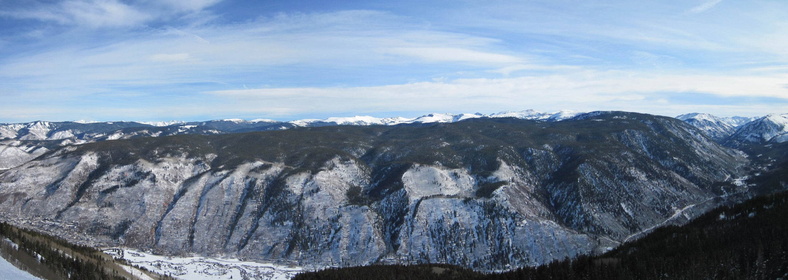
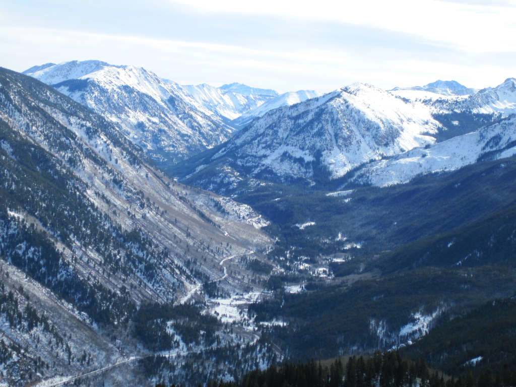
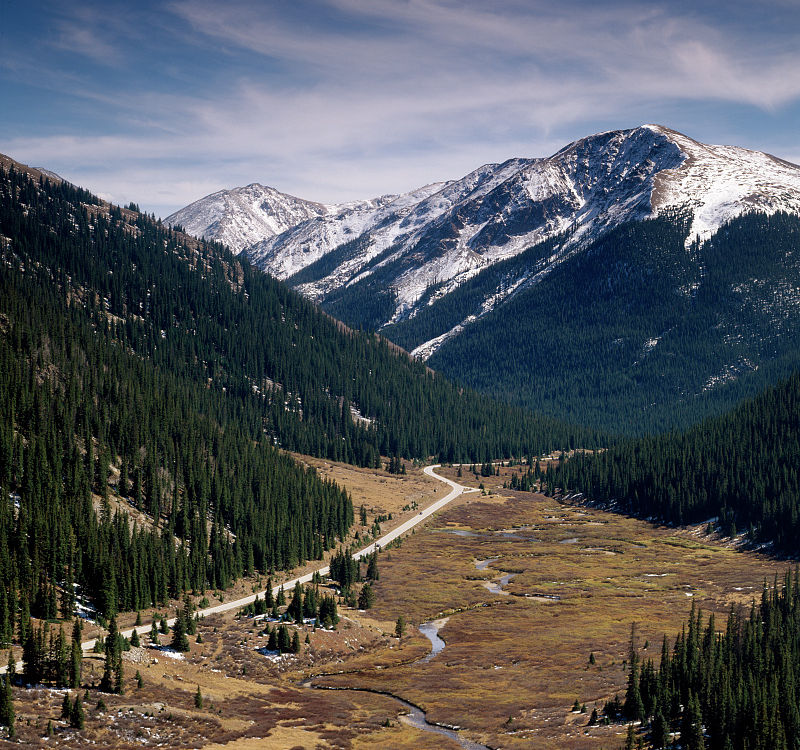
The panorama below was taken from the Aspen Ski Resort while looking toward the pass. The city of Aspen is off to the left of the photo, while Independence Pass ascends to the right. The snowcapped mountains located in the center and off in the distance are part of the Hunter-Fryingpan Wilderness. These mountains are in the Williams Mountains, a sub-range of the Sawatch Range.
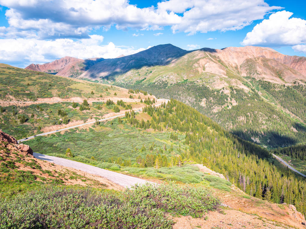
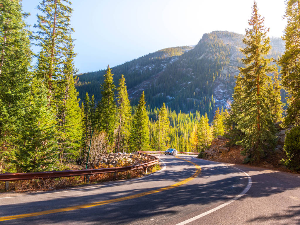
Highway 82 winding from Aspen up Independence Pass
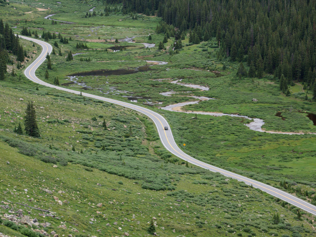
The Aspen side of the pass runs alongside the Roaring Fork River for almost the entire length of this side of the pass. The lower section of the Aspen side of the highway can be seen from the top of the Aspen Ski Resort. Just head to the top of Walsh’s or the surrounding ski trails.
Another photo looking down onto the highway as it ascends the pass
Hairpin turn near the top of the pass on the eastern side
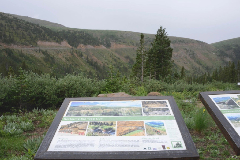
Roadside plaque below the "Top Cut"
“Restoring the Top Cut” refers to a large project by the Independence Pass Foundation. The goal of this project was to restore some of the land scarring that had occurred around the highway in the upper portion, known as the top cut.
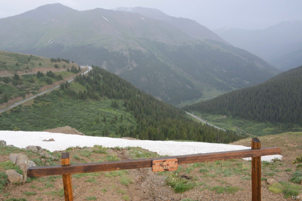
Looking east from the top of the pass
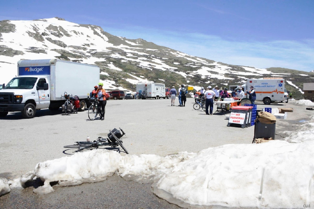
Recreation on Independence Pass
Tourists and locals enjoy recreation on this pass year-round, but the road is closed during the winter months. The summer season will be filled with tourists and cars. Here are a few of the popular activities on Independence Pass:
Cycling – This is a popular spot for cycling, and the ride down through the winding hairpin turns can be exciting. Expect a 2-3 hour ride on the way up. Remember that the top of the pass is much colder than the valley below. Dress in layers if it is cold.
Fishing – There are several lakes and streams on Independence Pass that are good for fishing, in addition to the Roaring Fork River which runs down through the valley on the Aspen side. Expect to catch rainbow trout, brown trout and cutthroat trout.
Snowmobiling – Snowmobiling is allowed during the winter, but only on the closed section of the highway when it is covered with snow. Snowmobiling is not allowed on the trails or in the wilderness near Independence Pass.
Camping – You’ll see 5 campgrounds labeled in the map below. This includes: Difficult Campground, Weller Campground, Lincoln Gulch Campground, Lost Man Campground and the Portal Campground. There is also FREE dispersed camping along Lincoln Creek Road.
Hiking – It shouldn’t surprise anyone that this is a great place for hiking during the summer. Popular trails here include the Independence Pass Trail, Lost Man Trail, the Grottos Trail, Grizzly Lake Trail, Continental Divide Trail and others.
Skiing – Accessing the pass is not easy during the winter, but Nordic skiers and alpine trekkers can make their way past the seasonal closure gates, and continue up the pass. You’ll want to use a combination of the road and surrounding trails to stay out of avalanche terrain. If you can skin your way up to higher elevations, you’ll be able to find some great areas for backcountry skiing. Spring skiing on the pass is popular because you can start to use the road to get to the top in order to access skiable terrain.
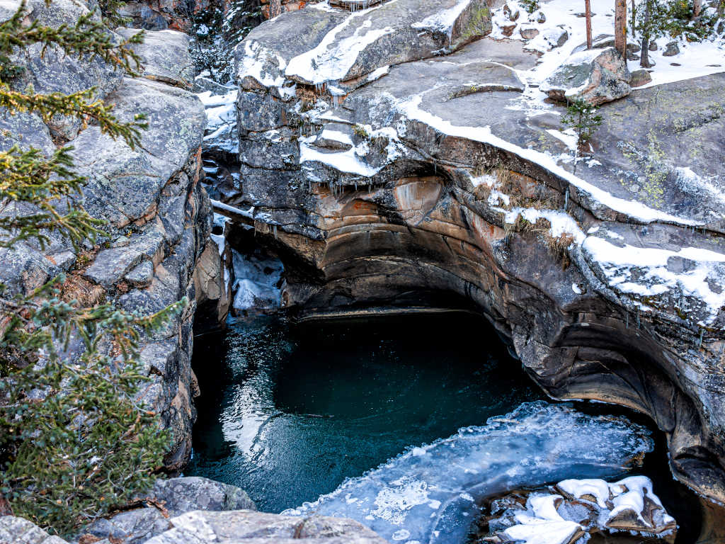
Devil's Punchbowl Swimming Hole
This is a popular swimming hole that is located along Highway 82 on the western side of Independence Pass. There is a public parking lot at the Grottos Day Use Area, and this is where you’ll find the Grottos Trail. Take the short hike eastward along the Roaring Fork River to the Devil’s Punchbowl area.
Jumping into this swimming hole can be deadly. Beware of "cold shock". This involuntary reaction to hitting the cold water causes you to gasp and inhale water. This is how accomplished swimmers and savvy outdoorsmen die in cold water.
Directions from Denver
Take I-70 Westbound and get off at the exit for Copper Mountain. Take HWY 91 south into Leadville, and then HWY 24 south until you get to HWY 82 @ Twin Lakes. Take Hwy 82 west. This turns into Independence Pass.
Interstate 70
Highway 91
Highway 24
Highway 82
Did You Know?
Independence Pass was once a toll road and open year-round. A toll road was built in 1881. It was open throughout the winter, but a sleigh was required once the snow got deep.1
Highway over Independence Pass on a sunny day
Independence Pass History
Independence Pass was originally called Hunter Pass.
Settlers began to establish the town of Independence in 1879. This was a mining camp, and its growth spurred improvements to the trail over the Continental Divide, which would soon come to be known as Independence Pass.
The Twin Lakes and Roaring Fork Toll Road company completed improvements to the trail by the spring of 1880. This allowed horses, donkeys and mules to travel over the pass, but not wagons.1
Who built the first wagon road over Independence Pass?
This depends on who you ask. Toll road companies that were formed for this purpose included:
Twin Lakes and Roaring Fork Toll Road company
Aspen, Hunter Creek and Leadville Toll Road company
The Twin Lakes, Independence and Aspen Toll Road company
Independence Wagon Road Construction company
Prof. B. Clark Wheeler was also largely responsible for the wagon road.
Right now there is an entire webpage being written to discuss how the wagon road was built. Contact us to help, or check back later for updates.
1. Gregory, Lee (1996). Colorado Scenic Guide: Northern Region. Neenah, WI: Big Earth Publishing. p. 148. ISBN 9781555661441. Retrieved November 4th, 2023. View.
2. Independence Pass History. Colorado Department of Transportation. (2021, December 29). View.