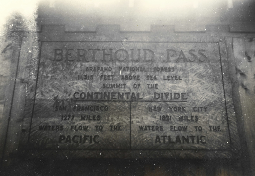
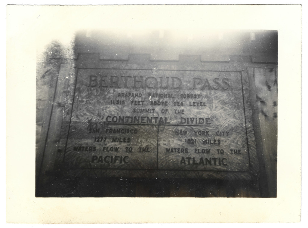
The original Berthoud Pass Inn was taken down in 1938. The new shelter house was built before the winter, and this sign was added onto its side.
This photograph can be dated based on the years that this version of the inn was known to be in place. This image could have been captured as early as 1938, or as late as 1946 when the inn burnt down.
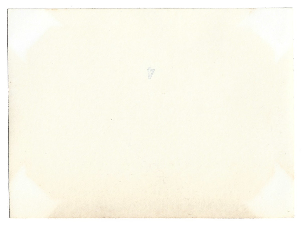
Backside
Full Scan
Comments & Discussion
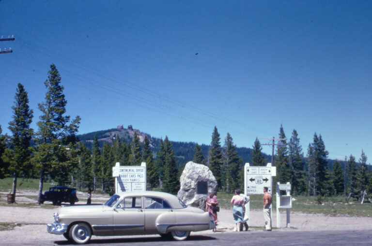
Up-close photographs of this sign are fairly rare because most people posed next to the nearby Continental Divide road sign on the side of Highway 40.
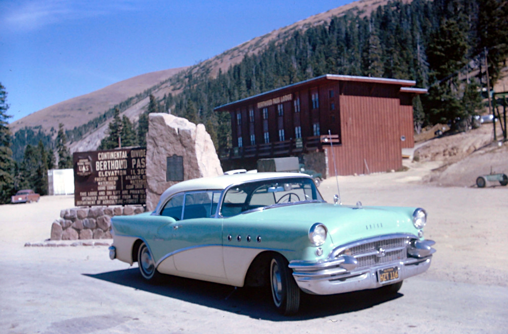
This sign lists an altitude of 12,315′. This is the same as the other signs from this time period, but the altitude would be adjusted over the decades. The current sign reads 11,307′.
This is the only sign in Berthoud Pass’s history that lists the distances to New York City and San Francisco.
Condition, Aging & Authenticity: The border is darkening due to age. The backside of the postcard also has significant darkening, but there is evidence in the corners that this photo was once attached to an album page. The 4 corners all show light spots where some kind of tape was used.
About the Coloradotopia Archives Collection. The Coloradotopia archives hold a large collection of historical images and items that document Colorado’s automobile history in the mountains. You can read more about the collection here.