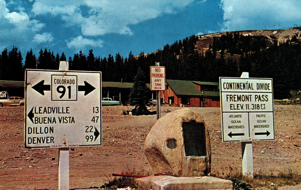
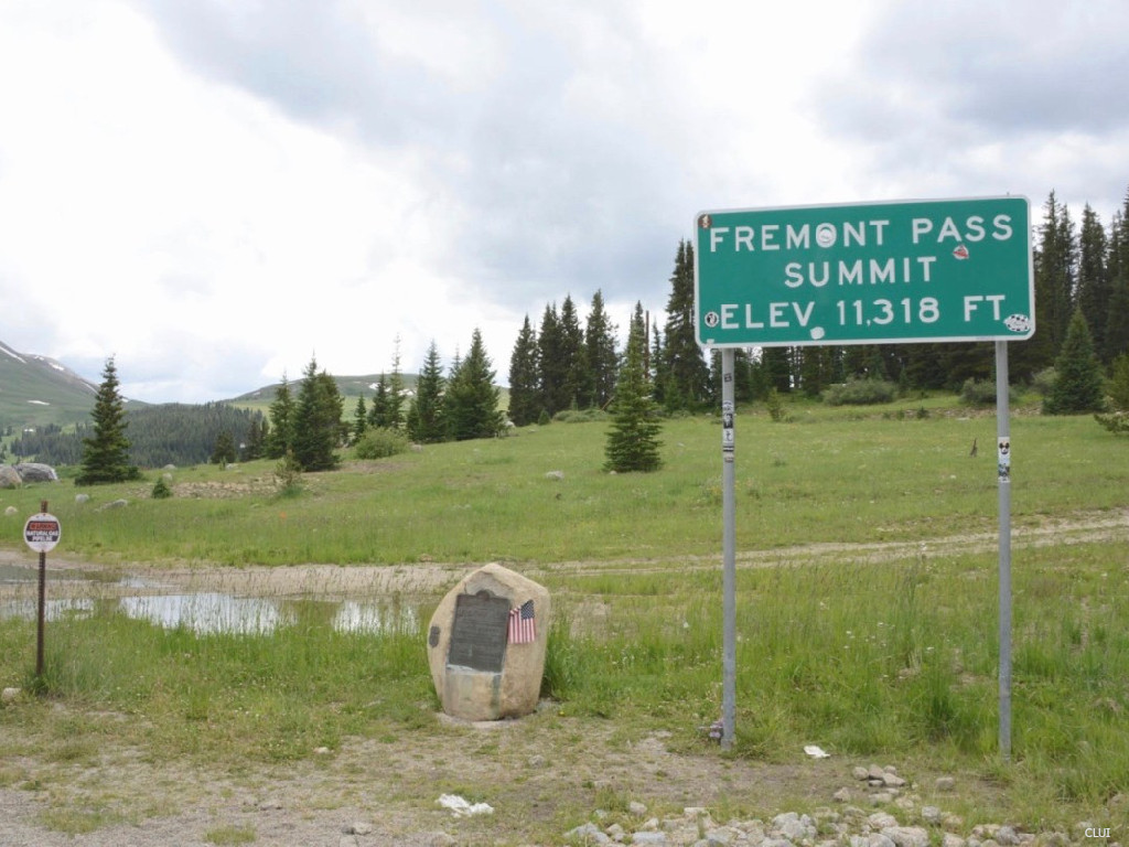
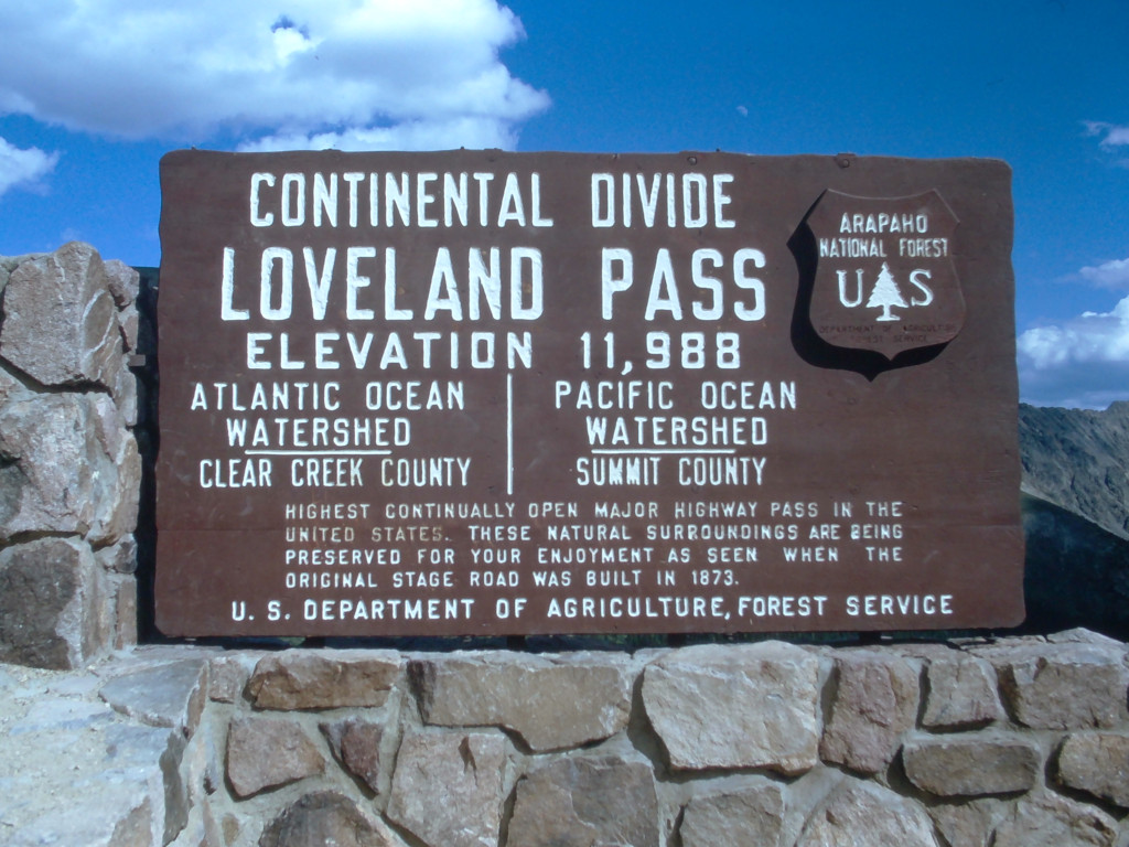
These signs have always been located on the opposite sign of the highway from the Climax Mine. This mine rules the top of this pass, and it has completely reshaped this portion of the divide. This is in an area where the divide runs eat-west for a short distance, so the Continental Divide sign arrows on the sign here point to the north and south.
The Coloradotopia Archives Collection. The archives contain hundreds of photographs, slides, other media, and small items focusing on Colorado’s Continental Divide highways and automotive history in the mountains. See more here.
c. 1955 or Later
This postcard shows the earliest image of this sign that is held in the Coloradotopia archives. The image has been scanned from a postcard that was created by Noble Post Cards in Colorado Springs.