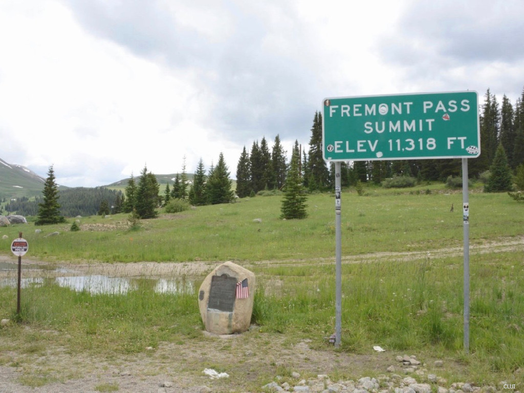
Fremont Pass Continental Divide Sign Photograph CF-CLUI1
<< Previous Image | Next Image >>
Info
- Date: Circa 2000s
- Photographer: Center for Land Use Interpretation
- Medium: Digital Only
- ID: CF-CLUI1
Digital image only.
This image is used under the Attribution-NonCommercial-ShareAlike 4.0 International license. More info.
Image Dating Comments
This image has not yet been dated. It is believed to be from the early 2000s.
Comments & Discussion
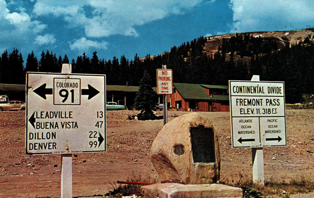
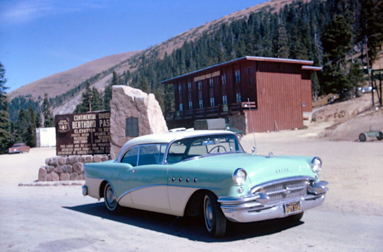
This sign is located in approximately the same spot as previous signs on top of this pass. There is a tourist pull-off here, and a collection of historical mining equipment and commemorative plaques.
There is no longer a Continental Divide sign at the top of the pass, but the original plaque from 1930, which is embedded in a large stone, can still be seen in this photo. When that stone was added, the modern auto highway over Loveland Pass had not yet been built.
Loveland Pass and Fremont Pass were both a part of the High Line route that was built in the 1800s. This cut a significant amount of time off of the drive from Denver to Leadville.
<< Previous Image | Next Image >>
About the Coloradotopia Archives Collection. The Coloradotopia archives hold a large collection of historical images and items that document Colorado’s automobile history in the mountains. You can read more about the collection here.


