Hoosier Pass traverses the Continental Divide between Breckenridge and Alma, Colorado. This collection contains images of the Continental Divide signs and markers throughout the years at the top of this pass. This is part of the larger Coloradotopia archive project, and the goal of this page is to document these signs while providing a dating reference for other photographs.
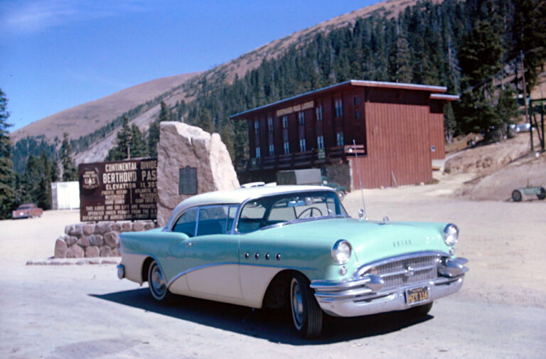
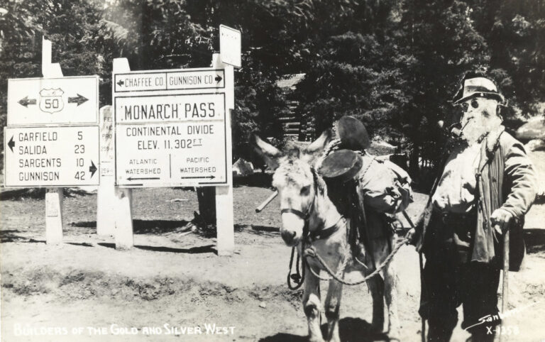
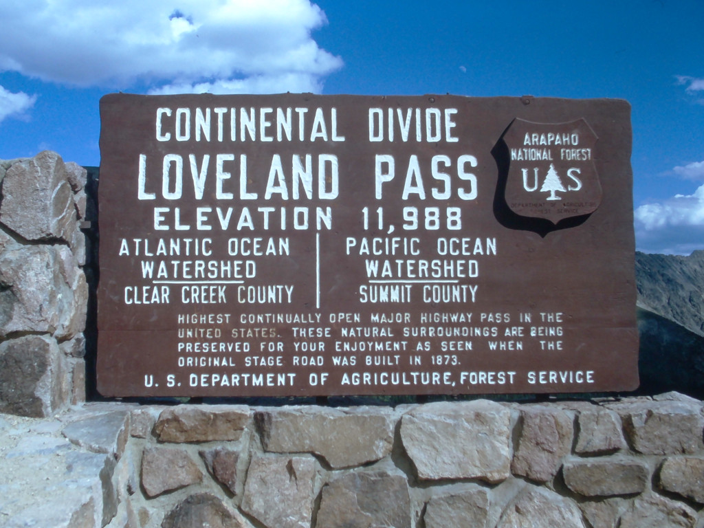
The Coloradotopia Archives Collection. The archives contain hundreds of photographs, slides, motion films and small items focusing on Colorado’s Continental Divide and mountain automotive history. See the archives here.
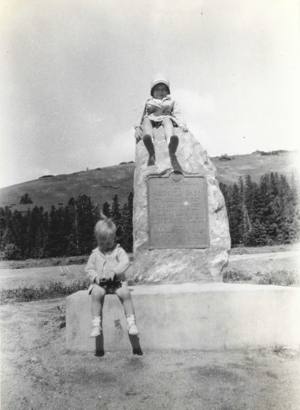
1932
This photo was captured in 1932, and it shows a pair of children on the historical marker that was added in 1929.
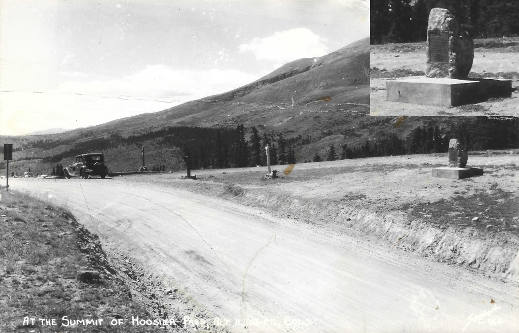
This image has been scanned from a Sanborn postcard and is believed to be from sometime in the 1930s. The historical marker is seen here, but the Continental Divide signs have not been added yet.
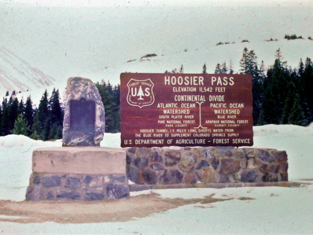
This slide shows the Hoosier Pass Continental Divide sign that was added by the US Forest Service. The sign was likely added sometime around 1957, when similar signs were added on other passes around Colorado.
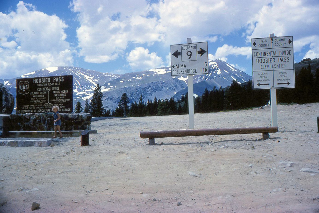
This image, scanned from a slide in the archives, shows the historical marker on Hoosier Pass as well as Continental Divide signs that were added by the Colo. Dept. of Highways and the US Forest Service.
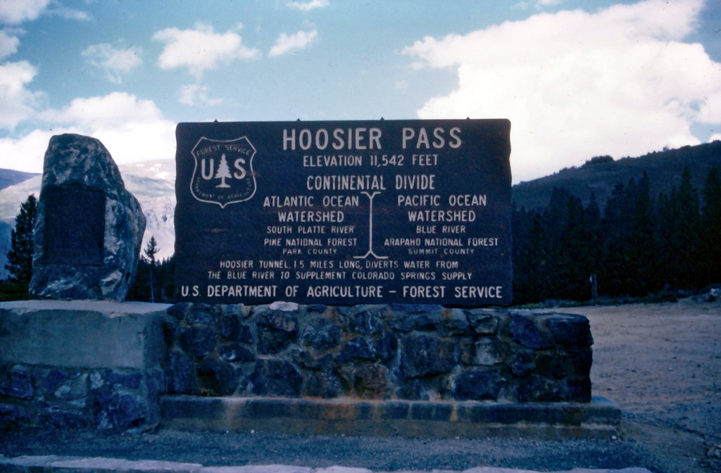
This image, captured in the summer of 1967, shows two markers at the top of the pass. A row of stones had been laid down in front of the signs by this point, and there is visible discoloration of the stone base due to minerals being washed down from the rocks above.
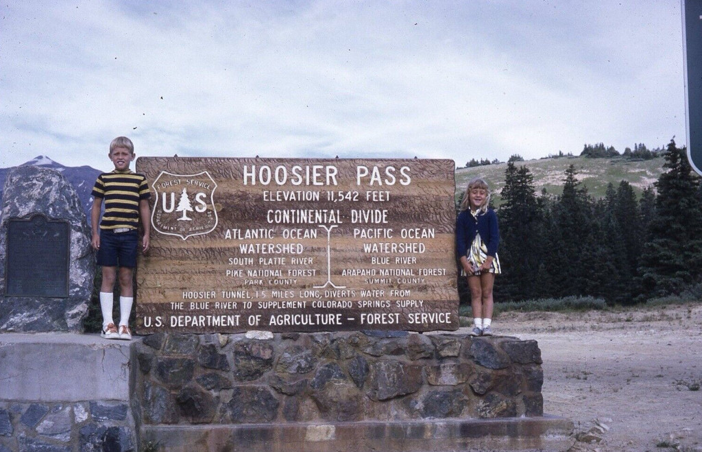
A boy and girl are shown posing on the Continental Divide sign here. A small crack in the base of the historical marker on the left could be seen in 1967, and this has now started to grow by 1971.
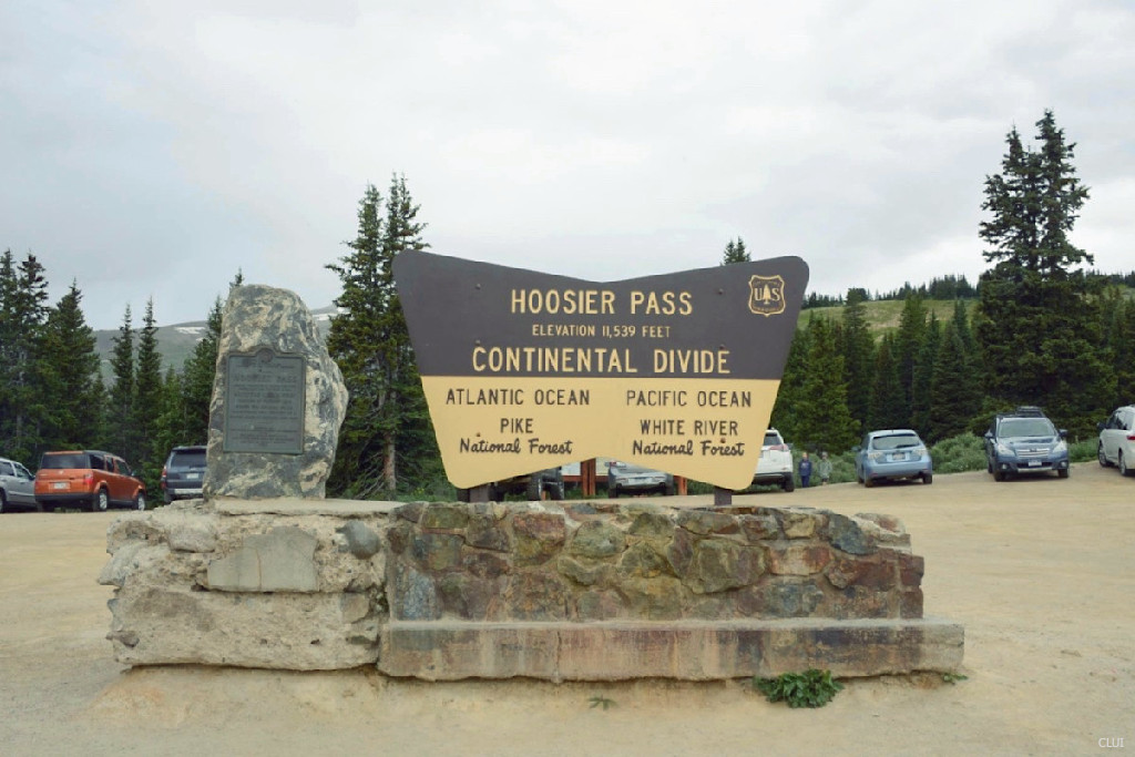
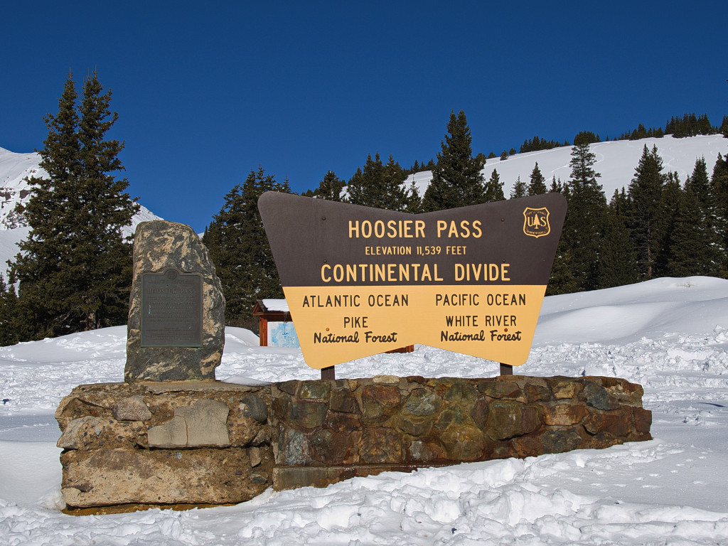
The modern sign is shown on top of Hoosier Pass in this image. The photo can be dated based on the degradation of the historical marker’s base and the vehicles in the background.