2013 Hoosier Pass Continental Divide Sign Photograph #CHP-DB13
<< Previous Image | Next Image >>
Brief Description
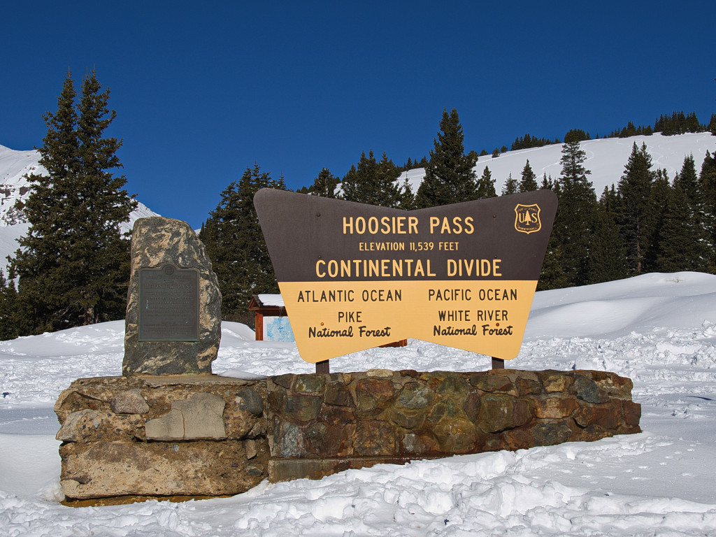
This image was captured at the top of Hoosier Pass in the spring of 2013. Hoosier Pass crosses the Continental Divide between Breckenridge and Alma, CO. During the early 1900s, this was the dominant route into Breckenridge from Denver.
Info
- Date: May 11, 2013
- Photographer: Donnissa Busch
- Medium: Digital Only
- ID: CHP-DB13
- Repository: Shutterstock.com
Digital photo only, no physical copy.
Image use restricted.
Image Dating Comments
This photograph has been published with a date of May 11, 2013. It is assumed that the date has been assigned by the photographer.
Comments & Discussion
Behind the sign, an area map at the trailhead can be seen with a small roof covering it. The snow on top of the map’s structure indicates that a fresh layer of snow has come down and is only just beginning to melt. Patches of snow on this pass will remain into the late summer here.
<< Previous Image | Next Image >>
About the Coloradotopia Archives Collection. The Coloradotopia archives hold a large collection of historical images and items that document Colorado’s automobile history in the mountains. You can read more about the collection here.


