Brief Description
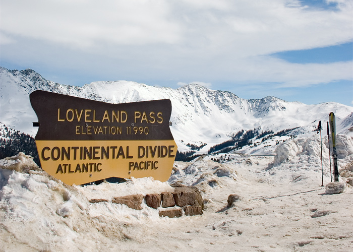
This image, captured on top of Loveland Pass in 2005, shows the Continental Divide sign, a portion of the divide’s ridge, as well as the top of the Arapahoe Basin ski area in the far distance.
Info
- Date: March 27, 2005
- Photographer: Christopher Morrison
- Medium: Digital Copy Only
- Size: 700px x 500px (cropped)
- ID: WIKI-CMM
- Repository: Wikimedia.org
Digital copy provided by Christopher Morrison/Wikimedia.org. There has been basic cropping and no enhancements.
This image has been used under this Creative Commons license.
Image Dating Comments
This photo has been dated to March 27, 2005, by the creator, Christopher Morrison. It was uploaded to Wikimedia.org on May 20th, 2005.
Comments & Discussion
In this photo you can see the snow is being pushed up around the sign. This is likely how all of the damage to this sign occurred in the early 2000s.
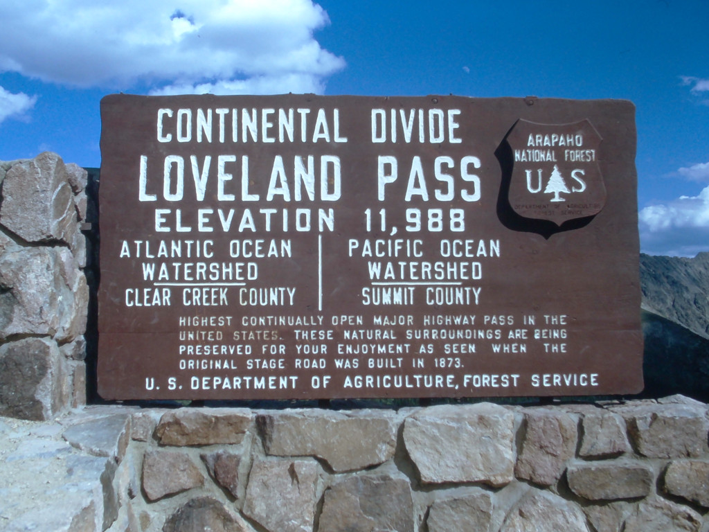
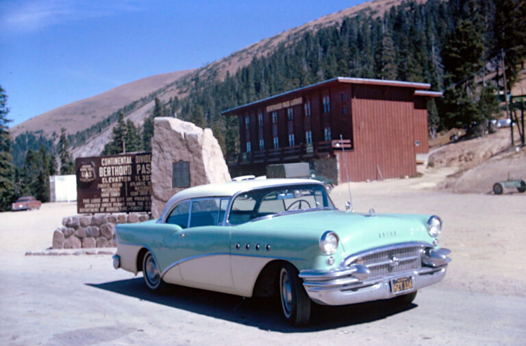
This is at least the 9th sign on Loveland Pass that can be counted in the sequence going back approx. 100 years. This sign would last another 2 years until it would be almost completely destroyed in 2007.
About the Coloradotopia Archives Collection. The Coloradotopia archives hold a large collection of historical images and items that document Colorado’s automobile history in the mountains. You can read more about the collection here.


