Info
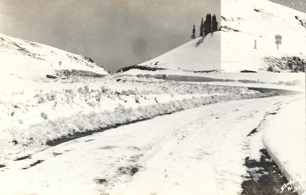
- Date: Circa 1940s or 50s
- Photographer: Harold Sanborn
- Medium: Real Photo Postcard
- Size: 5 1/4" x 3 3/8"
- ID: CMO-W-1147
- Acquisition Date: March 2024
- Repository: Coloradotopia Archives
Scanned with basic cropping, digital enhancements.
Image use restricted.
Image Dating Comments
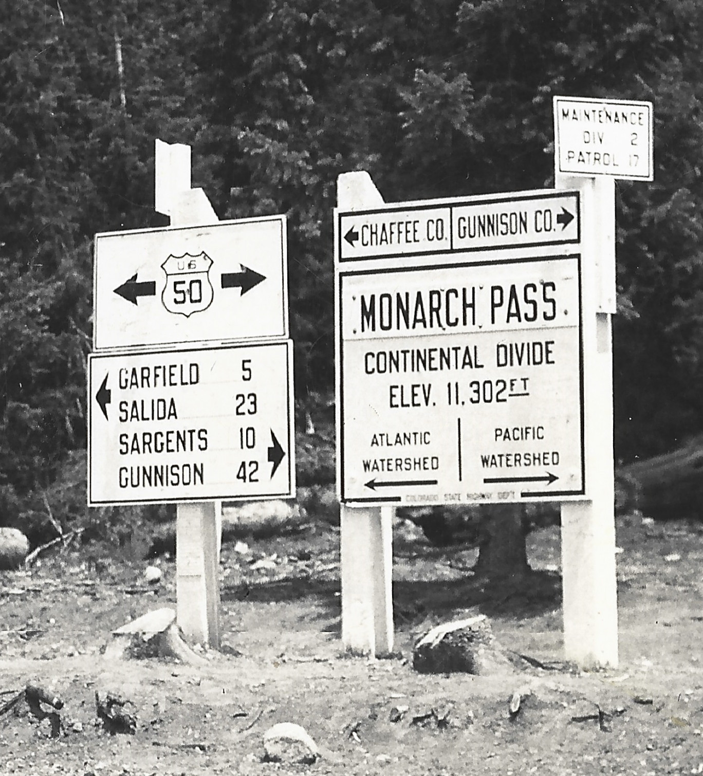
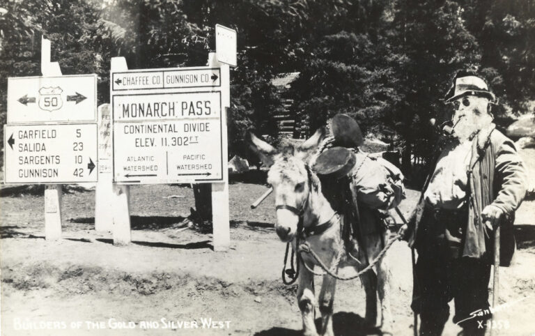
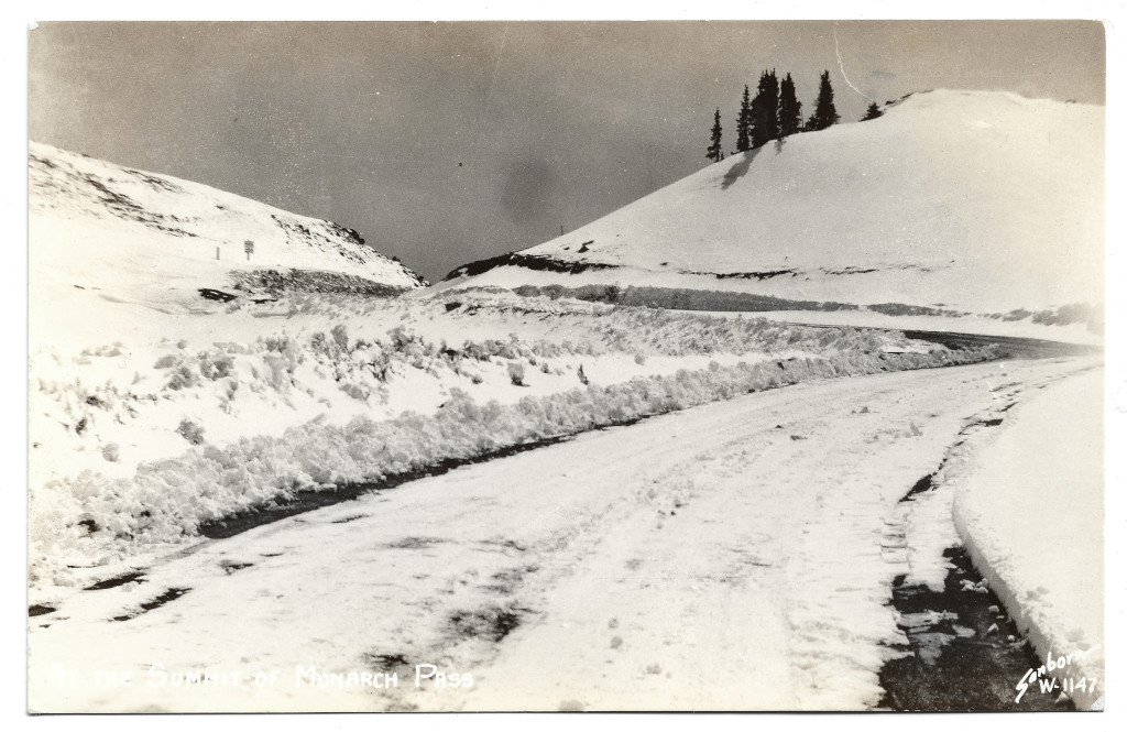
The sign appears to be very similar to signs that were added by the Colorado State Highway Department during the 1940s and early 1950s on the Continental Divide throughout Colorado.
Backside Scan
Full Scan
The scan below with done with darkened settings at 1200 DPI. There were no further enhancements after that.
Comments & Discussion
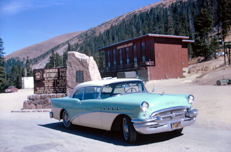
The new Monarch Pass road had been built by this time and this route was referred to as Old Monarch Pass. This was a dirt road that still exists today, and is used by recreational 4×4 drivers during the summer. There is still a Continental Divide sign in the same spot as where it can be seen here.
The image for this postcard is slightly overexposed to begin with, so a round of digital enhancements was performed in order to try and improve the quality of the scan for the featured version of this image.
Condition, Aging & Authenticity: There are two obvious scratches or flaws in the photograph’s surface. These can be seen in the upper middle. The glossy surface is still as glossy as it likely ever was. There are a few small indentations in the lower part that can be seen under glaring light, but the photo’s surface is in overall good condition with no cracking or spidering.
A small amount of aging discoloration can be seen coming in around the edges of the backside scan. This is mostly invisible to the naked eye under regular light, but is highlighted well in the scan.
About the Coloradotopia Archives Collection. The Coloradotopia archives hold a large collection of historical images and items that document Colorado’s automobile history in the mountains. You can read more about the collection here.

