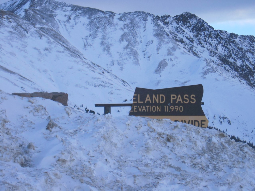
Info
- Date: January 11th, 2007
- Photographer: SirLyric
- Medium: Digital Copy Only
- ID: WIKI-J07
- Repository: Wikimedia
Digital copy provided by SirLyric/Wikimedia
This image has been used under this Creative Commons License.
Image Dating Comments
This photo is dated to January 11th, 2007. It was uploaded to the Wikimedia Foundation on June 14th, 2011. It is assumed that the original date came from a digital timestamp.
Comments & Discussion
With the snowbanks piled high, this sign has taken its last pummeling in this photo. This was the last sign that would be erected on this side of the highway on Loveland Pass. The next sign was located on the opposite side of the road. That one was already in place by January 2007. A pair of photographs has been found that shows both signs in place at the same time on Jan. 14, 2007: Example #1, Example #2.
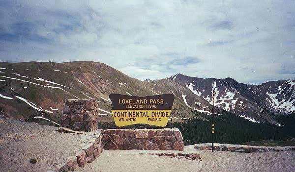
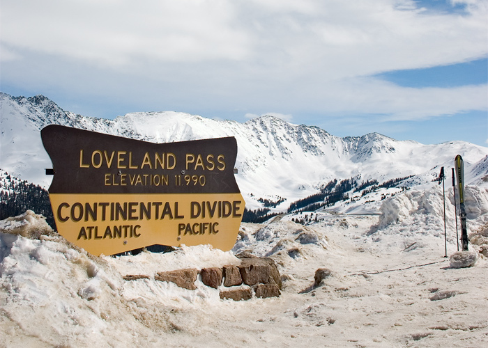
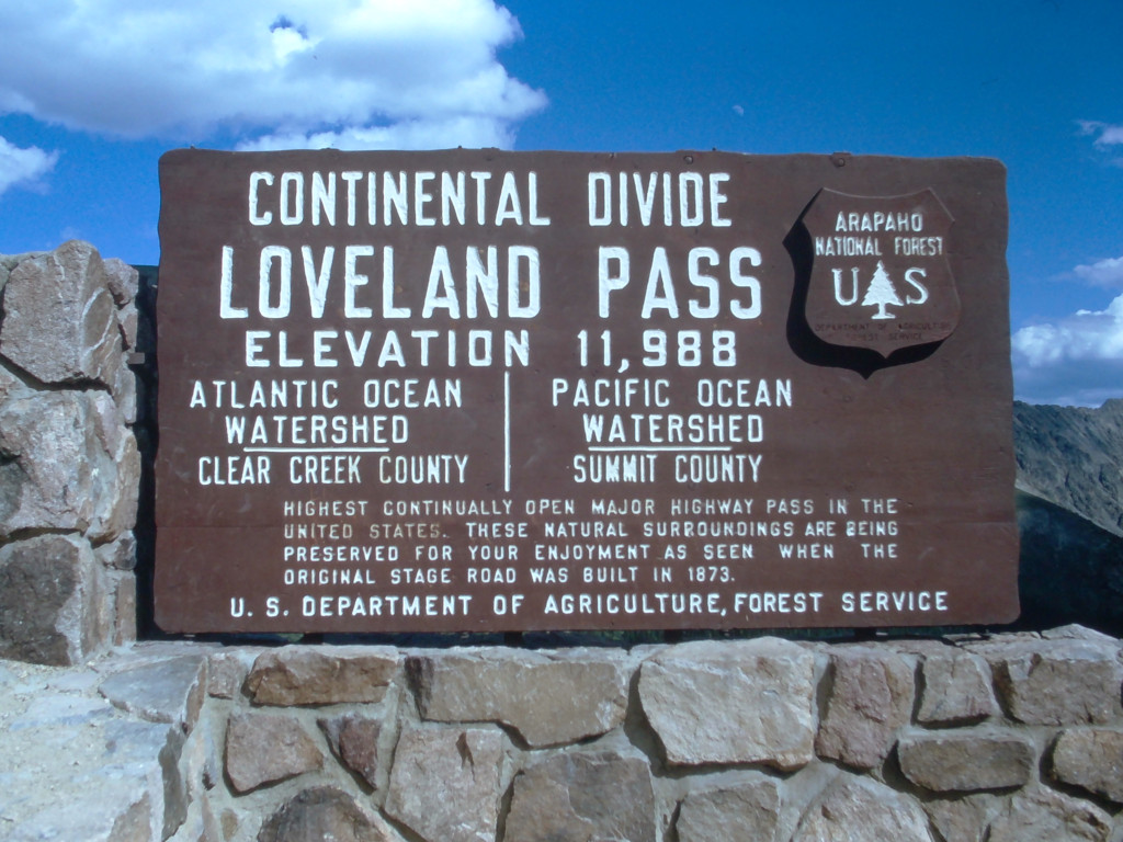
The sign can also be seen at various points of destruction in the photos below from 2001 and 2005.
Before it was destroyed, and when it was not covered in snow, this sign pointed out the directions to each ocean. While water falling on one side of the divide should normally be destined for the ocean on that side, this is not entirely true of the modern Continental Divide. Much of the water from the Loveland Pass area flows down to Dillon Reservoir on the western side of the divide. Water from this reservoir travels 23 miles through the Harold D. Roberts Tunnel before emerging on the eastern side, where the water travels down to Denver.
About the Coloradotopia Archives Collection. The Coloradotopia archives hold a large collection of historical images and items that document Colorado’s automobile history in the mountains. You can read more about the collection here.

